Four administrations hold ground on the same 9,251 square kilometres of the eastern Mediterranean. Cyprus is a sovereign state, independent from Britain since 16 August 1960 and a member of the European Union since 1 May 2004, and its government has held effective control of about 59% of the island since the Turkish invasion of 1974. The Turkish Republic of Northern Cyprus administers about 36%, a United Nations buffer zone drawn at the 1974 ceasefire covers nearly 4%, and 254 square kilometres, 2.8% of the ground, stayed British at independence as the Sovereign Base Areas of Akrotiri and Dhekelia. Almost every figure the Republic publishes about itself is measured inside one of those lines.
At a glance
Where it is
Where Cyprus is, and what is around it
Cyprus has a coast. It shares a border with 3 countries, counted as shared borders, which includes neighbours across water.
 United Kingdom
 Israel
 Türkiye
How the ground came to be divided
The Republic of Cyprus holds de jure sovereignty over the whole island, its territorial waters and its exclusive economic zone, with the two British base areas excepted by the treaties of 1960. Effective control is a separate question, and has been since 1974.
| Who administers it | Share of the island | Held since |
|---|---|---|
| Republic of Cyprus | about 59% | 1960 |
| Turkish Republic of Northern Cyprus, recognised by Turkey | about 36% | 1974 |
| United Nations buffer zone | nearly 4% | 1974 |
| Akrotiri and Dhekelia, British sovereign territory | 2.8%, 254 square kilometres | 1960 |
The buffer zone extends about 180 km across the island. In parts of old Nicosia it is a few metres wide, and in other places a few kilometres. Its northern and southern limits are the lines where the two forces stood at the ceasefire of 16 August 1974, as recorded by the United Nations Peacekeeping Force in Cyprus, which has been on the island since 1964. Much of the ground inside it is farmed or lived on: more than 10,000 people live or work in the areas the force designates for civil use, and Pyla, in the east, is the village where the two communities live side by side. Nicosia International Airport has stood closed within it since 1974, and UNFICYP records about 1,000 incidents a year inside the zone.
The Republic also has four exclaves, all of them inside the British base area of Dhekelia: the villages of Ormidhia and Xylotymvou, and the two parts of the Dhekelia power station, split by a British road.
Why the founding settlement was written abroad
Ottoman rule over Cyprus ran from 1571 to 1878, when the island passed to British administration under the Cyprus Convention; Britain annexed it formally in 1914. The armed campaign fought by EOKA from 1955 was fought for enosis, union with Greece, while Turkish Cypriots organised for taksim, partition of the island. Neither was obtained. In December 1958 representatives of Greece and Turkey opened the discussions that produced an independent republic, and the agreements reached at Zurich and London were supplemented by three treaties, of Establishment, of Guarantee and of Alliance. The two Cypriot leaders, Archbishop Makarios III and Fazıl Küçük, joined the London stage with no real decision-making power.
Independence came on 16 August 1960, and Britain kept its 254 square kilometres. The census taken that December, the last to cover the entire island, counted 573,566 people: 442,138 Greeks, 104,320 Turks and 27,108 others. Public offices were allocated by ethnic quota, which gave Turkish Cypriots 30% of parliament and of the administration together with a permanent veto, and the three guarantor powers held a right of intervention.
The design broke inside three years. The crisis of 1963 and 1964 displaced more than 25,000 Turkish Cypriots into enclaves and ended Turkish Cypriot representation in the institutions. On 15 July 1974 the Greek military junta under Dimitrios Ioannides staged a coup in Nicosia, ousting Makarios and installing Nikos Sampson, and Turkey invaded five days later, citing the right of intervention written into the 1960 Treaty of Guarantee, a justification the United Nations rejected. About 150,000 Greek Cypriots were displaced from the north; roughly 60,000 Turkish Cypriots moved from the south to the north over the following year under the Third Vienna Agreement. The north declared independence on 15 November 1983, and Security Council Resolution 541 held that declaration to be legally invalid and urged states not to recognise it. Cyprus: history follows the sequence from the Bronze Age copper trade to the reunification talks that collapsed in 2017.
What the island is made of
The land is two ranges and a plain. The Troodos massif covers most of the south and the west and carries Mount Olympus at 1,952 metres; the Kyrenia range, a narrow limestone ridge, runs along the north coast; the Mesaoria plain lies between them with Nicosia in its middle. About 12% of the island is classified as woodland.
Summers are long and dry, from mid-May to mid-October, and winters mild, from December to February. Daily temperatures in July and August run to about 30 degrees Celsius on the central plain and 24 in the Troodos, where the snow falls in winter.
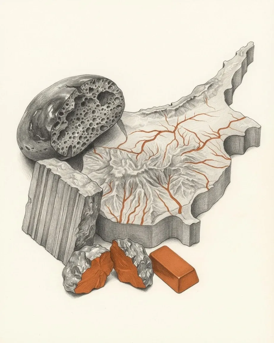
Water sets the limit on everything else. The rivers fill in winter and dry out as the year goes on, so storage had to be built: dam capacity stood at 327.5 million cubic metres in 2026, against 6 million cubic metres in 1960, and desalination plants opened at Dhekelia in 1997 and Larnaca in 2000, with tertiary-treated water going to irrigation from 1998. What the rock gave the island first was copper, and the traffic in the name ran outwards: the Latin aes Cyprium, the metal of Cyprus, was shortened to cuprum. The slab of raised seafloor that holds the ore, and what the ceasefire line has done to the ground it crosses, are set out in the article on its landscape.
How Cyprus governs the part it controls
The 1960 constitution vests executive power jointly in a Greek Cypriot President and a Turkish Cypriot Vice-President, acting through a council of ministers they appoint between them, seven and three. In 1964 the Vice-President and the three Turkish Cypriot ministers withdrew from the government, which has functioned since with Greek Cypriots in all ministries under a doctrine of necessity. The post of Vice-President remains vacant, and the President now appoints eleven ministers.
Parliament has the same shape. In the House of Representatives, 56 members are elected by Greek Cypriots under proportional representation and three sit as observers for the Maronite, Latin Catholic and Armenian minorities, while the 24 seats allocated to the Turkish community stand empty. The electoral law divides the territory into the six administrative districts and gives 21 of the 56 seats to Nicosia, 12 to Limassol, 11 to Famagusta, five to Larnaca, four to Paphos and three to Kyrenia, a district administered from the north since 1974.
Cyprus joined the United Nations on 20 September 1960 and the Commonwealth in 1961. On 24 April 2004 the two communities voted in simultaneous referendums on the settlement plan drafted under Kofi Annan: 65% of Turkish Cypriot voters supported it, 74% of Greek Cypriot voters opposed it, and 66.7% of all votes cast were against. A week later, on 1 May 2004, the whole island entered the European Union, with the body of Union law suspended in the north. The euro replaced the Cypriot pound on 1 January 2008 at a fixed rate of 0.585274 pounds to the euro. The politics article takes the institutions, the parties and the doctrine of necessity in detail.
What the economy lives on now
The invasion of 1974 removed most of what the economy had been built on. The Republic lost 70% of the island's wealth-producing resources, 65% of its hotel capacity, 46% of its industrial sector and 56% of mining and quarrying production; the port of Famagusta, which had handled 83% of general cargo, went with them, and Nicosia airport closed inside the buffer zone.
Services replaced them. Gross domestic product at current prices reached 36,321.5 million euros in 2025 and grew 3.8% in real terms, with information and communication, hotels and restaurants, construction and retail trade leading it. The International Monetary Fund's Article IV consultation, concluded on 17 June 2026, recorded public debt falling below 60% of gross domestic product and continued fiscal surpluses.
The banking system was rebuilt after March 2013, when the government agreed with its eurozone partners to split Cyprus Popular Bank into a bad bank to be wound down and a good bank absorbed by Bank of Cyprus. A 10 billion euro programme came with a haircut on uninsured deposits, while deposits of 100,000 euros or less were insured and untouched. North of the line the currency is the Turkish lira. The economy article traces how portable the replacement assets are.
What the two communities share and keep apart
Greek and Turkish are both official languages, and Armenian and Cypriot Maronite Arabic are recognised as minority languages. English was the sole official language under British rule, stayed in the courts until 1989 and in legislation until 1996, and 80.4% of Cypriots were proficient in it in 2010. Everyday speech is Cypriot Greek among Greek Cypriots and Cypriot Turkish among Turkish Cypriots, and both differ sharply from the standard registers taught in school.
Religion divides where language divides. At the 2001 census in the government-controlled areas, 94.8% of the population was Eastern Orthodox and 0.6% Muslim, with Latin Catholic, Armenian, Maronite and Anglican minorities making up most of the rest. Most Turkish Cypriots are Sunni Muslims, and the first President of the Republic, Makarios III, was an archbishop.
The kitchen is where the two communities kept most in common. Halloumi, which Turkish Cypriots call hellim, enters the written record in 1554, when the Italian historian Florio Bustron described a Cypriot sheep's milk cheese he called calumi; souvla, the meze table and the dance tsifteteli are shared in the same way. Paphos, with the Mycenaean temple of Aphrodite at Kouklia and the mosaics of Nea Paphos, sits on the World Heritage list, as do ten painted churches in the Troodos region and the Neolithic settlement of Choirokoitia, occupied from the 7th to the 5th millennium BC. Lefkara lace was inscribed on the UNESCO intangible heritage list in 2009 and tsiattista, the improvised duel in rhyming couplets of fifteen syllables, in 2011. The culture article starts from a dialect that has never settled on a spelling.
How visitors cross the line
Tourist arrivals reached 4,534,073 in 2025, against 4,040,200 in 2024, and revenue from tourism was estimated at 3,696.1 million euros for the year. The Statistical Service states in its methodological note that the count covers passport control in the government-controlled area and excludes the ports and airports of what it calls the occupied part of Cyprus, so the published series measures part of the island.
Movement across the line has been possible since April 2003, when the north eased its checkpoint restrictions after thirty years. The wall across Ledra Street in the middle of Nicosia was demolished in March 2008 and the crossing reopened on 3 April 2008; two further crossings opened on 12 November 2018, and two of the crossing points sit inside the British base area at Pergamos and Strovilia. Cars drive on the left, sockets take the British three-pin plug and the mains runs at 240 volts, all inherited from the colonial period that ended in 1960. The travel article goes into the seasons, the crossings and the regions.
Where to read the rest
Ground administered in four pieces produces a record kept in four pieces. The six articles take a piece each: how the state was made and unmade, what the rock is doing under it, who governs and under what doctrine, what pays for it, and what a visitor finds on either side of the line.
Read
Everything about Cyprus
Six articles, each answering one question and each written to be read on its own.
The record
What is measured about Cyprus
Pages that nobody writes, built from the record and from the data files beside it.
Common questions
Questions about Cyprus
Is Northern Cyprus part of the Republic of Cyprus?
The Republic of Cyprus holds de jure sovereignty over the whole island apart from the two British base areas, and has held effective control of about 59% of the ground since 1974. The northern third has been administered since then by the Turkish Republic of Northern Cyprus, which declared independence on 15 November 1983 and is recognised by Turkey. United Nations Security Council Resolution 541 held that declaration to be legally invalid. This catalogue records both positions and takes no view between them.
Can people cross between the north and the south?
Crossing points have operated since April 2003, when the north eased checkpoint restrictions after thirty years. The wall across Ledra Street in Nicosia was demolished in March 2008 and that crossing reopened on 3 April 2008. Two more opened on 12 November 2018, at Dherynia and at Lefka, and two of the crossing points, Pergamos and Strovilia, sit inside the British Sovereign Base Area of Dhekelia rather than on ground the United Nations patrols.
Why does European Union law stop inside Cyprus?
The whole island entered the European Union on 1 May 2004, one week after simultaneous referendums on 24 April 2004 in which 65% of Turkish Cypriot voters supported the settlement plan drafted under Kofi Annan and 74% of Greek Cypriot voters opposed it. Membership therefore covers the island, while the body of Union law is suspended in the areas the Republic does not control. Turkish Cypriots who can document eligibility for Republic of Cyprus citizenship hold the rights of European Union citizens.
What language is spoken in Cyprus?
Greek and Turkish are the official languages, with Armenian and Cypriot Maronite Arabic recognised as minority languages. Everyday speech is Cypriot Greek among Greek Cypriots and Cypriot Turkish among Turkish Cypriots, and both differ sharply from the standard registers used in school and in court. English was the sole official language under British rule, remained in the courts until 1989 and in legislation until 1996, and 80.4% of Cypriots were proficient in it in 2010.
Where does the name Cyprus come from?
The origin is not settled. Suggestions trace it to an Eteocypriot word for copper, or to the Sumerian words zubar for copper and kubar for bronze, from the ore deposits of the Troodos mountains. The borrowing ran outwards as well: the Latin phrase aes Cyprium, the metal of Cyprus, was shortened to cuprum, which is the scientific name of copper.
Nearby in the catalogue