Continents of the world
5 continents · 240 countries · 35 regions
This catalogue divides the world into 5 continents: Africa, the Americas, Asia, Europe and Oceania, the same five the United Nations Statistics Division uses as its top-level regions. Between them they hold all 240 countries, dependencies and disputed territories on record, and each continent is split further into regions, 35 in all.
The five continents, A to Z
01
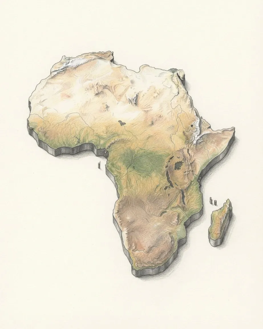
Africa
The Equator cuts Africa almost in half, and roughly four-fifths of its land sits between the Tropic of Cancer and the Tropic of Capricorn.
- Population
- 1.4 bn2016–2025
- Area
- 30.4 m km²
- Countries
- 5854 sovereign
- Regions
- 8
02
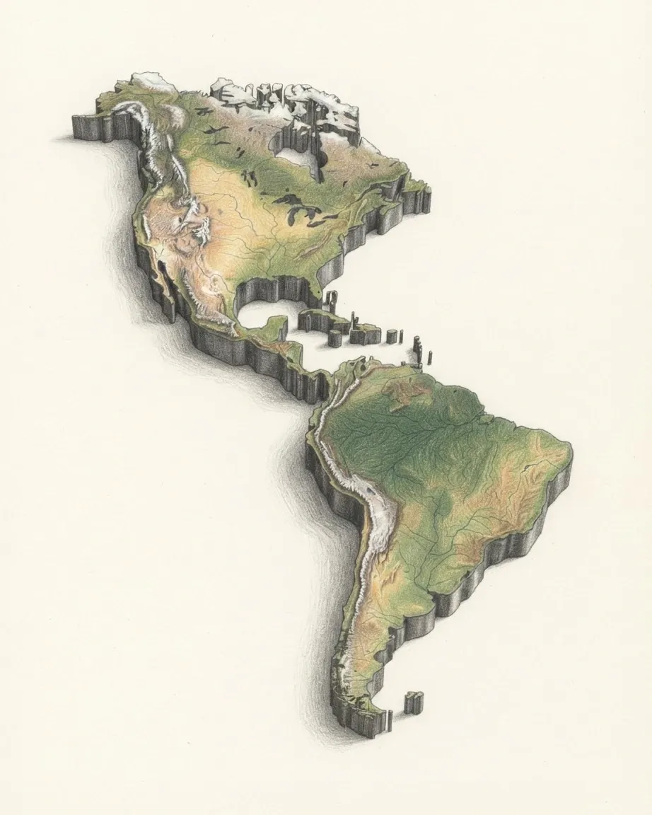
The Americas
More than a third of the countries filed here are not sovereign states, and almost all of those are islands.
- Population
- 1.0 bn2013–2025
- Area
- 40.3 m km²
- Countries
- 5435 sovereign
- Regions
- 5
03
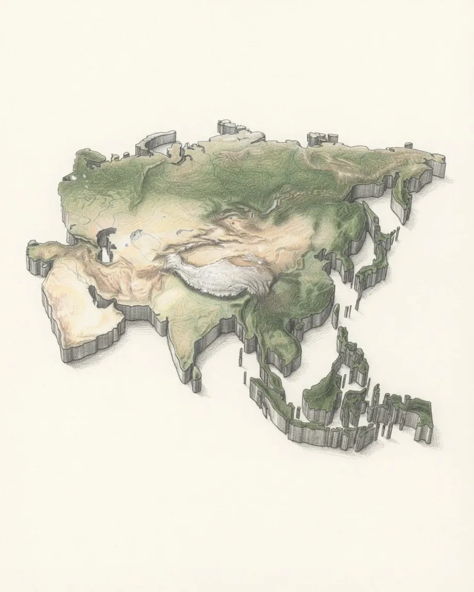
Asia
No boundary in this catalogue is argued about as often as Asia's, and the United Nations does not settle it either: the commission it runs for the region counts France, the Netherlands and the United Kingdom among its members.
- Population
- 4.5 bn2017–2026
- Area
- 31.1 m km²
- Countries
- 4643 sovereign
- Regions
- 8
04
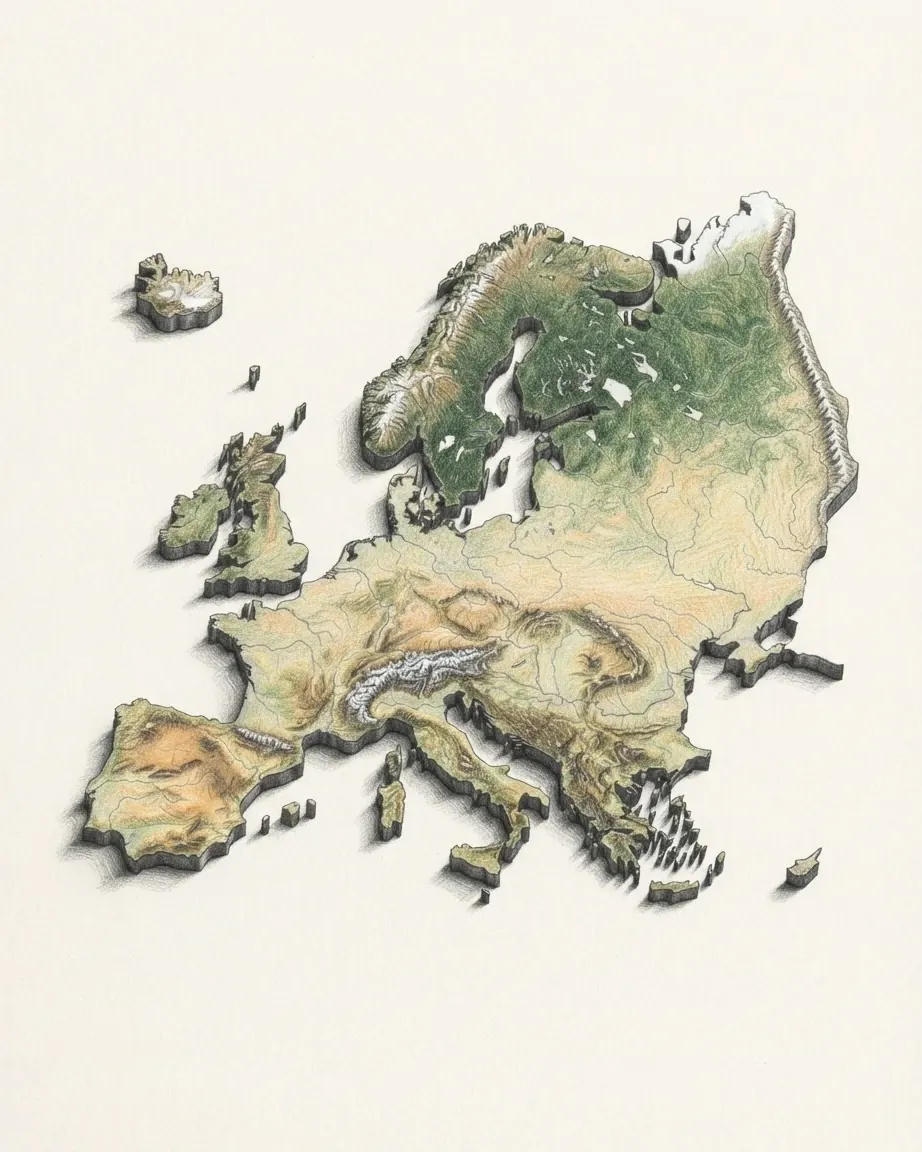
Europe
Europe has no eastern edge that anyone can walk to, and the catalogue still has to pick one.
- Population
- 849.5 m2021–2026
- Area
- 26.4 m km²
- Countries
- 5750 sovereign
- Regions
- 10
05
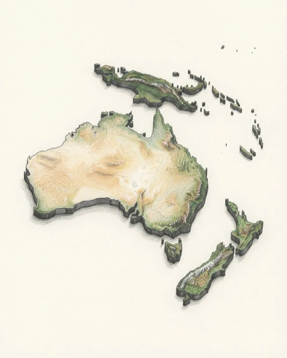
Oceania
The Pacific Islands Forum seats French Polynesia, New Caledonia, the Cook Islands and Niue as full members alongside sovereign states, and this catalogue records all four as territories of France or of New Zealand.
- Population
- 45.2 m2016–2025
- Area
- 9.0 m km²
- Countries
- 2514 sovereign
- Regions
- 4
The five continents in figures
Population, area and countries for each continent, summed from the 240 records. Each population total carries the years its figures were measured in.
| Continent | Countries | Sovereign | Non-sovereign | Population | Area, km² | People per km² |
|---|---|---|---|---|---|---|
| Africa | 58 | 54 | 4 | 1.4 bn2016–2025 | 30.4 m | 47 |
| The Americas | 54 | 35 | 19 | 1.0 bn2013–2025 | 40.3 m | 26 |
| Asia | 46 | 43 | 3 | 4.5 bn2017–2026 | 31.1 m | 144 |
| Europe | 57 | 50 | 7 | 849.5 m2021–2026 | 26.4 m | 32 |
| Oceania | 25 | 14 | 11 | 45.2 m2016–2025 | 9.0 m | 5 |
| World | 240 | 196 | 44 | 7.8 bn2013–2026 | 137.2 m | 57 |
What a continent is
A continent is one of the large landmasses the world's land is divided into, and the division is a convention rather than a measurement. Geology offers tectonic plates, which do not line up with the continents anyone learns at school: India rides its own plate, and the Arabian Peninsula another. Where land is continuous, the line between two continents is drawn by agreement, along a mountain range, a river, a strait or a canal.
Four of those lines do most of the work. The Isthmus of Panama joins North and South America. The Isthmus of Suez, cut through by the Suez Canal, separates Africa from Asia. The Ural Mountains, the Caspian Sea, the Caucasus and the Bosporus are the usual edge between Europe and Asia, although no two atlases draw that edge in exactly the same place. And the Bering Strait, under a hundred kilometres wide at its narrowest, is all that stands between Asia and North America.
Africa
Africa is the second-largest continent, and the Equator, the Tropic of Cancer and the Tropic of Capricorn all cross it, so it runs from a Mediterranean climate in the north through desert and rainforest to a Mediterranean climate again at the Cape. The Sahara, the largest hot desert on Earth, covers most of the north. South of it the Sahel is a belt of dry grassland, and below that the Congo Basin holds the second-largest rainforest in the world.
The east of the continent is being pulled apart along the Great Rift Valley, a chain of faults, volcanoes and deep lakes that runs from the Red Sea to Mozambique. Kilimanjaro, the highest mountain in Africa, stands beside it in Tanzania. The Nile flows north out of the lakes region through Sudan and Egypt to the Mediterranean, and Lake Victoria is the largest lake on the continent. Off the south-east coast lies Madagascar, separated from Africa for long enough that most of its wildlife lives nowhere else.
The Americas
The Americas run from the Arctic islands of Canada to Tierra del Fuego, the longest north to south of any landmass, and a single chain of mountains follows the whole western edge. In the north it is the Rocky Mountains; in the south it is the Andes, the longest continental mountain range in the world, which reaches its highest point at Aconcagua in Argentina, the highest mountain outside Asia.
East of the mountains the land is low and wide. The Great Plains of North America and the Pampas of Argentina are grassland turned to farmland. The Amazon Basin, shared by Brazil and its neighbours, is the largest rainforest on Earth, and the Amazon carries more water to the sea than any other river. Between the two continents lies the Caribbean, where most of the Americas' dependencies are, governed from the United Kingdom, France, the Netherlands and the United States.
Asia
Asia is the largest continent by land and by population, and it holds the extremes of both height and depth. Mount Everest, on the border of Nepal and China, is the highest point above sea level, and the Himalaya around it rise from the Tibetan Plateau, the highest and largest plateau in the world. The shore of the Dead Sea, on the western border of Jordan, is the lowest dry land on Earth.
The great rivers of Asia start on that plateau: the Yangtze, the Mekong, the Ganges and the Indus among them, and the plains they water are where most of Asia's people live. The monsoon, the seasonal reversal of wind that brings the rains to South and South-East Asia, decides the farming year across much of the continent. To the west lie the deserts of Arabia and Central Asia, to the north the forest and tundra of Siberia, and to the east the island arcs of Japan, the Philippines and Indonesia.
Europe
Geographically Europe is the western peninsula of Eurasia, and it is a continent more by history than by landform. Its coastline is broken into further peninsulas, Iberia, Italy, the Balkans and Scandinavia, and little of western Europe lies far from the sea. The Alps form its central range, the North European Plain runs flat from France to the Urals, and the Volga, which drains into the Caspian Sea, is its longest river.
Europe holds many states in a small area, from Russia, the largest country in the world, to Vatican City, the smallest. Its eastern edge is where continents are most argued about. Türkiye has a small part of its territory west of the Bosporus, and Georgia, Armenia and Azerbaijan sit across the Caucasus, the line that some atlases use and others do not.
Oceania
Oceania is defined by water more than by land. Australia is the smallest continental landmass and the driest inhabited one, its interior desert and scrub and most of its people along the eastern and south-eastern coasts. The Great Barrier Reef runs for more than two thousand kilometres off the Queensland coast. To the north, New Guinea, shared by Papua New Guinea and Indonesia, is the second-largest island in the world, and to the south-east New Zealand rises into the Southern Alps.
The rest of Oceania is thousands of islands spread across the Pacific, grouped since the nineteenth century as Melanesia, Micronesia and Polynesia. Many are atolls, rings of coral only a few metres above sea level. The Mariana Trench, the deepest point in any ocean, lies in the western Pacific near Guam.
How many continents are there?
Five, six or seven, depending on who is counting. The seven-continent model taught in most English-speaking countries lists Africa, Antarctica, Asia, Australia, Europe, North America and South America. The six-continent model used across Latin America and much of southern Europe joins North and South America into one. The five-continent model counts only the inhabited continents, and it is the one the five Olympic rings stand for.
This catalogue uses five because it records countries. Antarctica has no permanent population and no state of its own, so it has no country to file, and the Americas divide more usefully into regions, the Caribbean, Central America and South America among them, than at a single line across the Isthmus of Panama.
How the catalogue files the edges
Every country sits in exactly one continent and in one region inside it, so a state that spans two continents is filed whole under one of them: Russia, Türkiye, Cyprus and the three states of the South Caucasus under Europe, Egypt under Africa, Kazakhstan and Indonesia under Asia. An overseas territory is filed where it lies rather than with the state that governs it, so Réunion sits in Africa and French Guiana in the Americas. Greenland is the one exception, filed under Europe with Denmark.
The totals on this page follow that filing rather than the landmass. With Russia counted under Europe, Europe's area here includes all of Siberia and Asia's does not. Each population total adds figures measured in different years, so it carries the span of those years rather than a single date.
All 35 regions are on their own board, and every country A to Z names its continent and region.
Questions about the continents
How many countries are in each continent?
This catalogue records 240 countries and territories across 5 continents: Africa 58, 54 of them sovereign states; The Americas 54, 35 of them sovereign states; Asia 46, 43 of them sovereign states; Europe 57, 50 of them sovereign states; Oceania 25, 14 of them sovereign states. The rest of each figure is dependencies and disputed territories.
Is Antarctica a continent?
Antarctica is a continent by landmass and counts as one in the seven-continent model. It is not among the five in this catalogue because no state lies on it and nobody lives there permanently, so it has no country to file.
Is Australia a continent or a country?
Australia is both: a sovereign country, and a continent of its own in the seven-continent model. This catalogue files it under Oceania together with New Zealand, Papua New Guinea and the Pacific islands.
Are North and South America one continent or two?
The seven-continent model counts two, divided at the border between Panama and Colombia. The six- and five-continent models count one, the Americas, and this catalogue follows them, separating north from south by region instead.
Which continent is Greenland in?
Greenland lies next to North America and is usually drawn as part of it. This catalogue files it under Europe, with Denmark, the kingdom it belongs to.