The Eastern Mediterranean
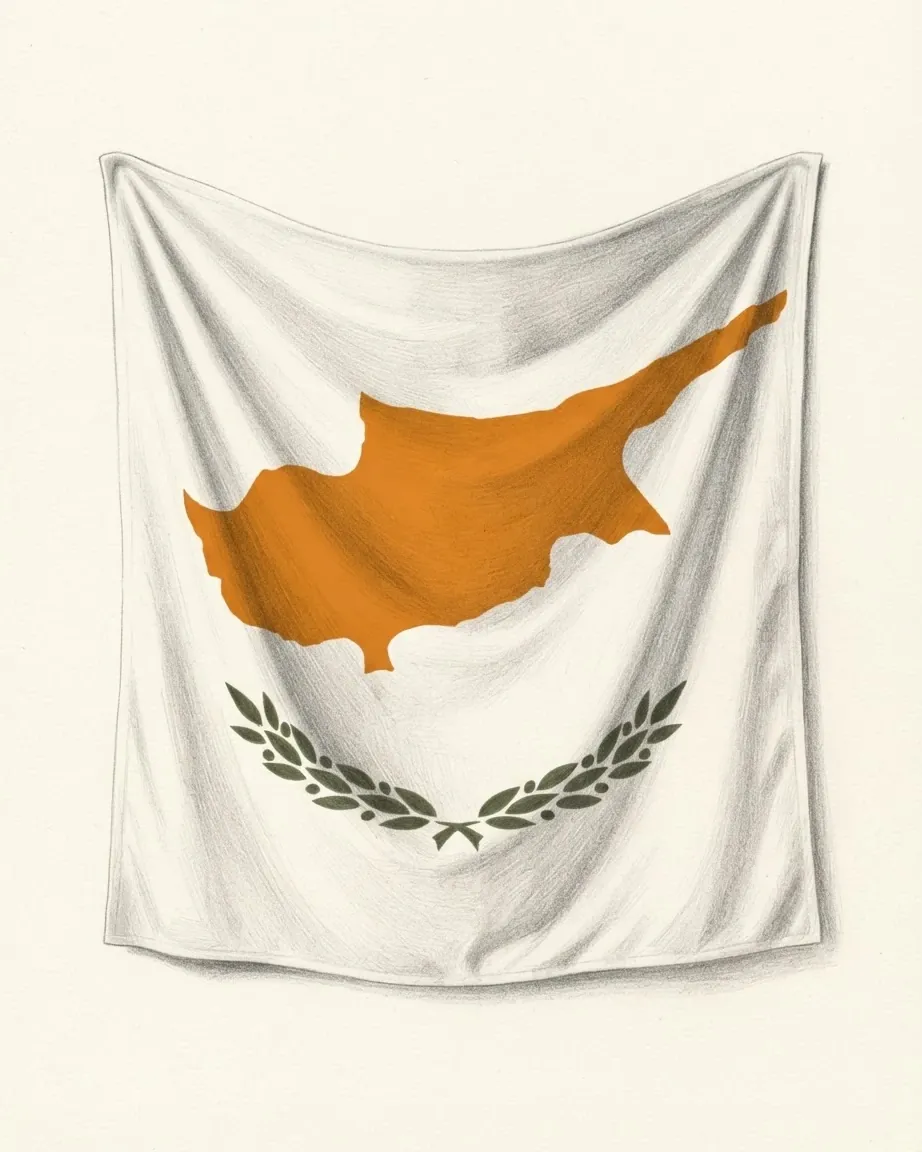
The Troodos massif at the centre of Cyprus is a slab of ocean floor pushed up onto land, and the copper cut out of it carries the same name as the ground above. Cyprus is the only country filed here, because the rest of the eastern shore sits under the Levant, Anatolia and North Africa. Greek and Turkish have both been official since 1960.
Common questions
Questions about Eastern Mediterranean
Which countries are in the Eastern Mediterranean?
Cyprus, on the reading this catalogue applies, and nothing else. The other coasts of the same basin are filed by the shore they sit on: Israel, Jordan, Lebanon, Palestine and Syria under the Levant, Türkiye under Anatolia, and Egypt and Libya under North Africa. Wider readings of the term are in print and take in all of those, which is a difference of scheme rather than of geography.
Is Cyprus in Europe or Asia?
Both answers are published. The island lies south and east of most of Anatolia, and a physical reading files it in Asia; the M49 standard of the UN Statistics Division files it in Western Asia for that reason. This catalogue files a country under the continent of the institutions it belongs to and the government it answers to, which puts Cyprus in Europe alongside its membership of the European Union from 1 May 2004.
Why is Cyprus not filed with the Levant?
Because a region here is a position rather than a history of trade. The Levant heading holds the states constituted inside the French and British mandates of the 1920s, and Cyprus was a British colony administered separately, not a mandate. Britannica's Levant is wider and does take Cyprus in, along with the Hatay province of Türkiye. The catalogue records that the wider reading exists and adopts neither as the correct one.
Are the British base areas part of Cyprus?
No. Akrotiri and Dhekelia, about 254 square kilometres in total, were retained under British sovereignty by the Treaty of Establishment of 16 August 1960 and have a civil administration of their own. They are the reason the record enters the United Kingdom among the island's neighbours, and the reason that neighbour is the one reachable without a boat.
What is the buffer zone, and who administers the north?
The buffer zone is the ceasefire line of 1974, about 180 kilometres of it, patrolled by the peacekeeping force the Security Council created by resolution 186 of 4 March 1964. A declaration of independence in the north on 15 November 1983 was called legally invalid by the Council in resolution 541 of 18 November 1983, and Türkiye is the state that has recognised it. The catalogue records the declaration and the resolution and adjudicates neither.