Since independence in 1991 North Macedonia has had to negotiate something with every one of its five neighbours, and twice the subject was the country's own identity. Greece agreed the name at Prespa in 2018, after the United Nations had carried the state under a provisional reference since 1993. Bulgaria made an amendment naming Bulgarians in the constitution the condition of European Union talks in 2022. With Serbia and Kosovo the question was the line on the ground, and with Albania a lake and a World Heritage property shared since 2019. The state doing the negotiating covers 25,713 square kilometres and counted 1,836,713 people at the 2021 census.
At a glance
Where it is
Where North Macedonia is, and what is around it
North Macedonia is landlocked. It shares a border with 5 countries, counted as shared borders, which includes neighbours across water.
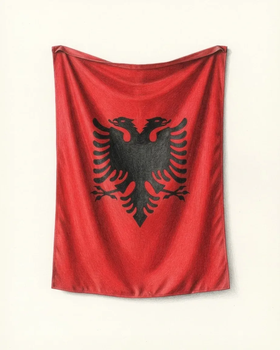
 Albania
 Bulgaria
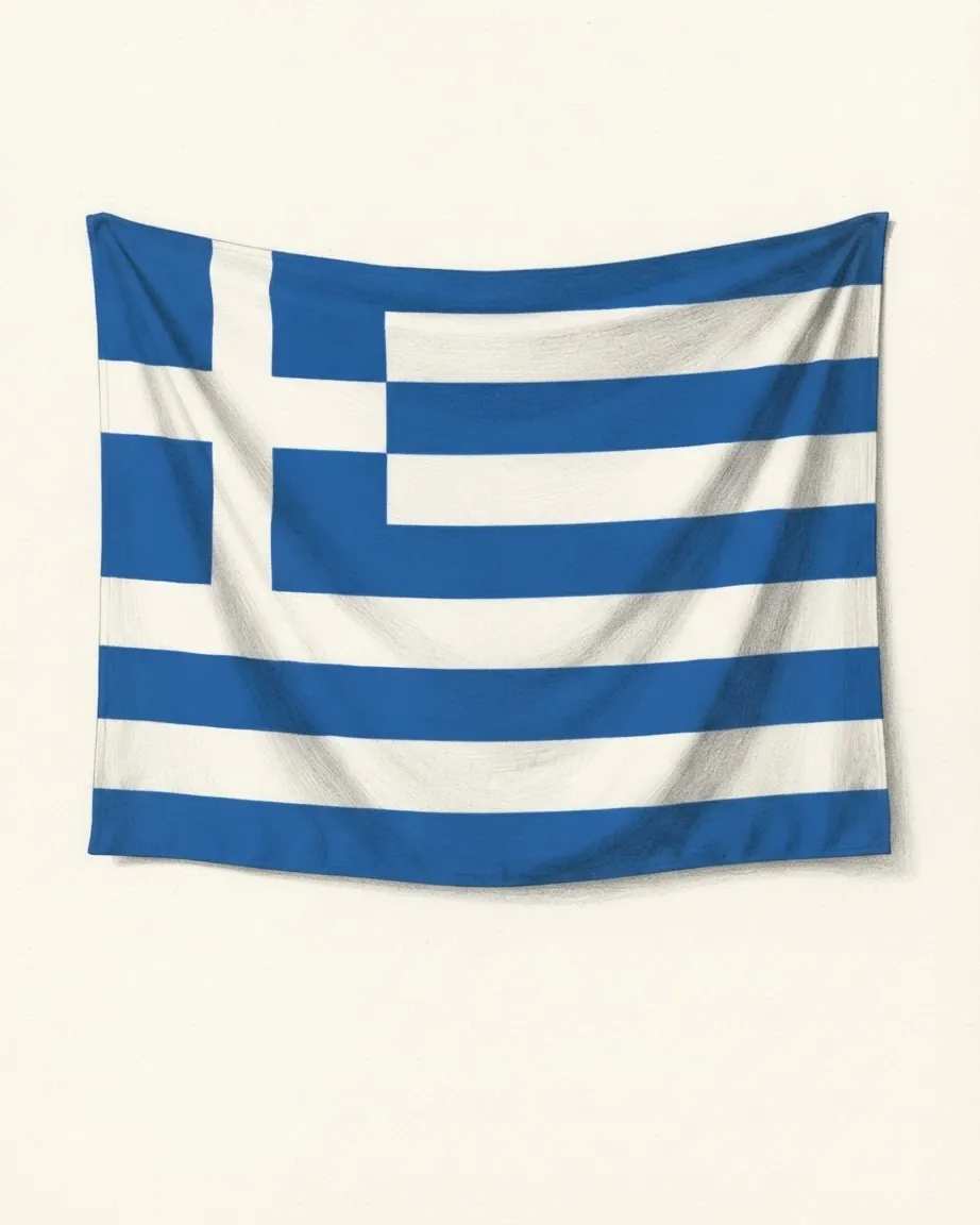
 Greece
 Serbia
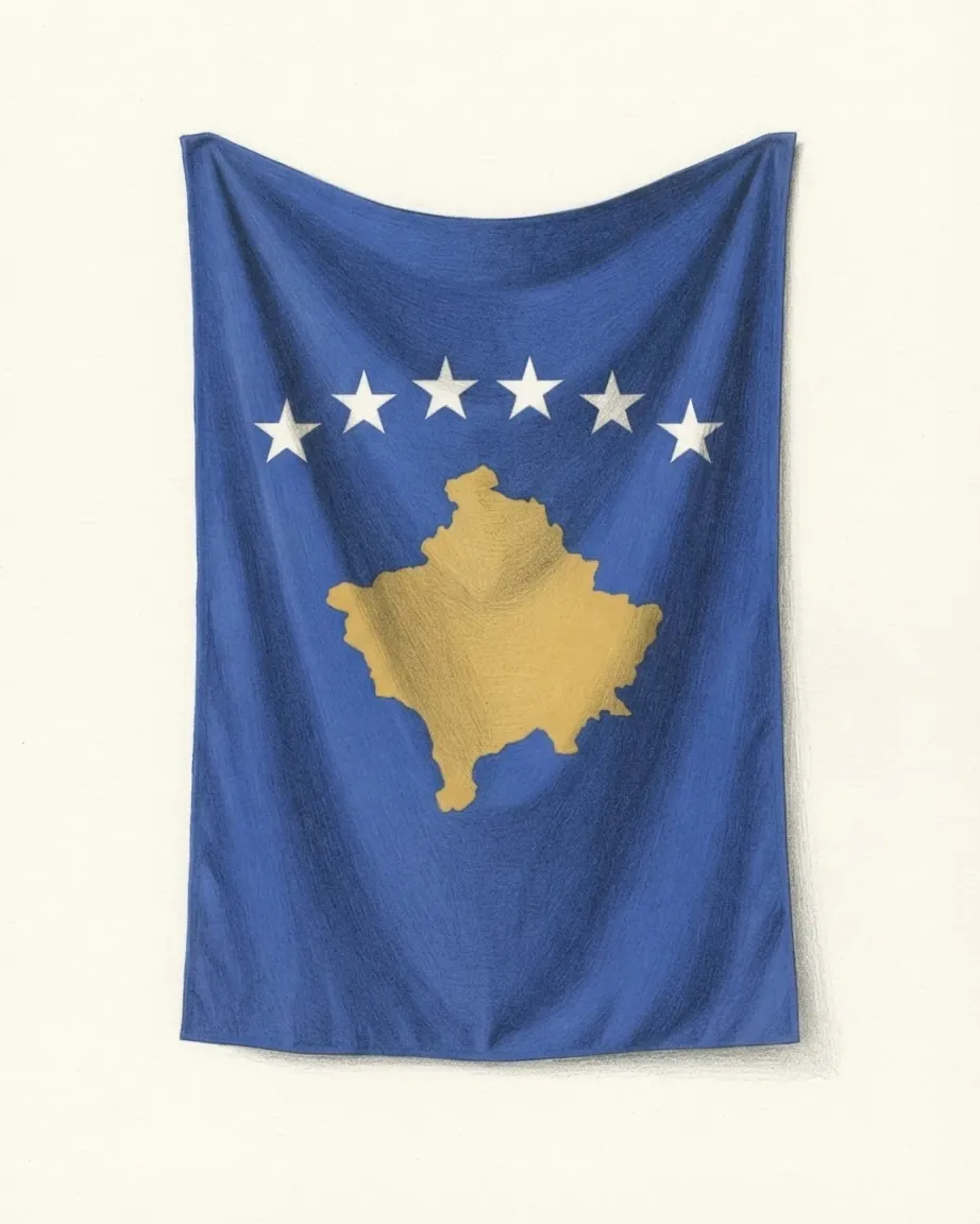
 Kosovo
What North Macedonia has settled with each neighbour
The land border is some 766 kilometres long in the count used by Wikipedia's geography article and 748 in its main article on the country. Kosovo holds 159 kilometres of it, Serbia 62, Bulgaria 148, Greece 246 and Albania 151, and each stretch has carried a negotiation of its own since the referendum of 8 September 1991.
| Neighbour | What was negotiated | Where it stood in 2026 |
|---|---|---|
| Greece | The state's name, the meaning of "Macedonian", the licence-plate code | Prespa Agreement signed 17 June 2018, in force 12 February 2019 |
| Bulgaria | The constitution's list of peoples and the reading of a shared past | Friendship treaty of August 2017; accession talks opened July 2022 on a condition still unmet |
| Albania | Lake Ohrid and the World Heritage property around it | Property extended to the Albanian shore in 2019 |
| Serbia | Small corrections to the demarcation line; church relations | Minor corrections agreed with Yugoslavia; church relations restored in 2022 |
| Kosovo | The northern line, drawn between two Yugoslav republics | Re-marked after Kosovo declared independence in 2008 |
The Greek negotiation took the longest. Greece objected to the name at independence, so the United Nations admitted the country on 8 April 1993 as "the former Yugoslav Republic of Macedonia", and Greece imposed a trade embargo in 1994 and 1995. At the NATO summit in Bucharest in 2008 Greece vetoed an invitation. The settlement came on the shore of Lake Prespa, at the Greek village of Psarades, and it defined the adjective as carefully as the noun: applied to North Macedonia, "Macedonian" denotes its own territory, language and people, and the language is recorded as South Slavic.
The Bulgarian negotiation is the open one. Bulgaria refused the European Union's negotiating framework on 17 November 2020, and a French proposal opened talks in July 2022 on the condition that the constitution name Bulgarians among the country's peoples. On 25 September 2024 the Union separated Albania's accession path from North Macedonia's because of the dispute between Skopje and Sofia.
The Kosovo question began with refugees. During the war of 1999 an estimated 360,000 ethnic Albanian refugees crossed the northern border by the count in Wikipedia's main article, and 340,000 by the count in its history of the country. Most went home after the war, and some of the insurgents who took up arms in the north and west in 2001 had fought in the Kosovo Liberation Army.
How the Vardar basin holds North Macedonia together
Most of the country is one river's catchment. The Vardar drains 20,459 square kilometres, 80% of the territory, rising near Gostivar and passing Skopje and Veles before it crosses into Greece near Gevgelija and reaches the Aegean west of Thessaloniki. Of the 25,713 square kilometres in the record, the Adriatic takes about 13% through the Black Drin and the Black Sea a sliver of 37 square kilometres.
Mountains close the valley on every side, and the border follows their watersheds for much of its length: the Šar range to the north-west, the ridges above Ohrid to the west, the Nidže massif to the south. Korab, on the Albanian line, reaches 2,764 metres in the record and 2,752 in Britannica. The three natural lakes sit on the southern edge, and a frontier crosses each. About a third of Ohrid lies in Albania, Prespa is split three ways, and Dojran is shared with Greece.
Skopje, on the Vardar, counted 422,540 people in 2021, and 62.9% of the population lived in towns in 2025. The geography article follows the water from the lakes to the three seas.
How a Yugoslav republic became a state
The Ottoman Empire held the region for more than five hundred years, and the Balkan Wars of 1912 and 1913 divided it between Greece, Bulgaria and Serbia, which took most of what is now North Macedonia. On St Elijah's Day in 1903 the Internal Macedonian Revolutionary Organization had proclaimed a short-lived republic at Kruševo, and the two sides of the eastern border still read that rising differently. Gotse Delchev, the organisation's leader who died that year, is claimed as a national hero by Macedonians and Bulgarians alike.
A Macedonian state was proclaimed on 2 August 1944, the anniversary of the Kruševo rising, by an anti-fascist assembly meeting in secret at the Prohor Pčinjski Monastery, which now stands in Serbia. The alphabet followed on 5 May 1945. Inside Yugoslavia the territory became the People's Republic of Macedonia in 1946 and the Socialist Republic in 1963, the year an earthquake on 26 July killed more than 1,070 people in Skopje and left more than 200,000 homeless.
Independence came by referendum on 8 September 1991, with 95.26% in favour, and the constitution was adopted on 17 November 1991. The preamble cites the Kruševo Republic, the wartime assembly and the referendum as the three sources of the state. North Macedonia: history sets out the sequence and the claims made on each part of it.
Why North Macedonia's Assembly shares power by community
The 2021 census counted 58.4% of the population as Macedonians and about a quarter as Albanians, with Turks at nearly 4%, Romani at 2.5% and Serbs at 1.3%. Albanians live mainly in the west and north-west, and Turks form a majority in two municipalities, Plasnica and Centar Župa.
That arithmetic shaped the settlement of 2001. After fighting between the government and ethnic Albanian insurgents from February to August, the Ohrid Framework Agreement was signed on 13 August 2001, and it wrote a second count into the Assembly. Laws on language, education, personal documents and symbols now need a majority of the members present and a majority of those who belong to communities not in the majority. Any language spoken by at least 20% of the population is official alongside Macedonian, and in municipalities the same threshold applies locally.
The Assembly has 120 seats, and a constitutional amendment needs two-thirds of them. The name change passed with 81 votes on 11 January 2019. The president is elected directly for five years, and the country joined NATO on 27 March 2020. North Macedonia: politics explains which offices the double count reaches.
What North Macedonia's development zones sell abroad
At independence the republic produced about 5% of Yugoslavia's federal output, and Serbia had taken about 60% of its sales. The break-up, the United Nations sanctions on the remaining federation and the Greek embargo cut it off from those buyers.
The exports that replaced them are concentrated. Companies in the Technological Industrial Development Zones shipped about €3.18 billion of goods in 2025, and buyers in Germany took about €1.25 billion of it. Johnson Matthey, making catalysts in the Skopje 1 zone, exported about €2.02 billion by itself, and Van Hool's bus plant in Skopje 2 about €225 million.
Output came to US$19.1 billion in 2025, or US$10,490 a head, and US$28,029 a head at purchasing power. Growth was 3.5% and inflation 4.1% that year, under a denar kept pegged to the euro. Unemployment fell from 37.2% in 2005 to a World Bank modelled 12.3% in 2025, while the population shrank by 0.2% in 2025 and the World Bank's 2026 country overview estimated more than 500,000 citizens living abroad. North Macedonia: economy covers the zones, the peg and the money sent home.
Why Ohrid sits at the centre of the culture
Much of what the country counts as its heritage is gathered in one lake town. UNESCO inscribed the Lake Ohrid region for its natural values in 1979 and its cultural heritage in 1980, and credits the Ohrid literary school with spreading writing across the old Slavonic world. Its churches hold more than 2,500 square metres of frescoes and more than 800 icons.
Clement of Ohrid, who taught there, has his own national holiday on 8 December, and Saints Cyril and Methodius have theirs on 24 May. The modern standard is much younger: its alphabet was adopted in 1945, and the dialects chosen as its base lay around Bitola, Prilep and Veles. Albanians keep Albanian Alphabet Day on 22 November, and Turks a day for teaching in Turkish on 21 December.
The national dish is tavče gravče, baked beans, served beside ajvar, a sauce of sweet red peppers. North Macedonia: culture covers the languages, the churches, the music and the table.
Where visitors to North Macedonia come from
Three of the neighbours send many of the visitors. The country counted 1,184,963 tourist arrivals in 2019, 757,593 of them foreign, and after Turkey with 112,472 came Serbia with 59,568, Greece with 57,578 and Bulgaria with 55,862.
Two places take most of the stays. About 60% of the roughly one million tourists of 2017 stayed in Skopje or in the south-west around the lakes. Skopje and Ohrid have the two international airports. Residents holiday at home in summer: in July 2026 they were 43.0% of the 223,711 tourists the State Statistical Office counted and spent 67.2% of the nights. North Macedonia: travel follows the season from the Skopje bazaar to the Ohrid shore.
The six articles take each subject further: the history, the land, the government, the economy, the culture and travel.
Read
Everything about North Macedonia
Six articles, each answering one question and each written to be read on its own.
The record
What is measured about North Macedonia
Pages that nobody writes, built from the record and from the data files beside it.
Common questions
Questions about North Macedonia
Why did the country change its name to North Macedonia?
Greece objected to the name Macedonia from independence in 1991, and the United Nations admitted the country in 1993 under the provisional reference "the former Yugoslav Republic of Macedonia". The Prespa Agreement, signed on 17 June 2018, settled the dispute with a geographical qualifier. The Assembly passed the constitutional changes with 81 of 120 votes on 11 January 2019, and the new name came into force on 12 February 2019.
What languages are official in North Macedonia?
Macedonian, a South Slavic language written in Cyrillic, is official throughout. Since the Ohrid Framework Agreement of 2001 the constitution also makes official any language spoken by at least 20% of the population, and Albanian meets that line; at the 2021 census about a quarter of the population were Albanians. The same 20% rule applies inside each municipality.
Why is North Macedonia not yet in the European Union?
It became a candidate in 2005, and Greece's objection to the name held the process until the Prespa Agreement. Bulgaria then refused the negotiating framework on 17 November 2020. Talks opened in July 2022 under a French proposal, on the condition that the constitution name Bulgarians among the country's peoples, a change that needs 80 of the Assembly's 120 votes.
How many people live in North Macedonia?
The 2021 census counted 1,836,713 people, of whom Skopje held 422,540. The population fell by 0.2% in 2025, and the World Bank's 2026 overview estimates more than 500,000 citizens living abroad.
Which countries share Lake Ohrid and Lake Prespa?
Lake Ohrid is divided between North Macedonia and Albania, with about a third of it on the Albanian side, and UNESCO extended the World Heritage property to that side in 2019. Lake Prespa is split between North Macedonia, Albania and Greece. The agreement that renamed the country was signed at Psarades, a Greek village on Prespa's shore, and takes its name from the lake.
Nearby in the catalogue