Travelling in Slovenia: the country that does not need an itinerary
2 796 words · 13 min · updated 2026-09-10
 Back to Slovenia
Slovenia measures 248 kilometres east to west and 163 north to south, and Ljubljana sits close to its geometric centre, which puts most of the country inside a two hour drive of one hotel room. Four of Europe's major physical regions meet inside that box: the Alps along the Austrian and Italian borders, the limestone karst of the south-west, the Pannonian flatland in the north-east, and 47 kilometres of Adriatic coast. The result is a trip that does not have to move. One base covers the country, and the decision each morning is which climate to drive into rather than which town to pack for.
In short
- Size
- 20,271 km2, and 248 km at its widest
- Highest point
- Triglav, 2,864 m
- Coastline
- 47 km on the Gulf of Trieste
- Most visited place
- Lake Bled, then the Karst caves
- Protected land
- 36% in Natura 2000, the largest EU share
- Forest cover
- 60.4% as of 2020, second in Europe
- Wettest and driest
- Over 3,500 mm in the west, 800 mm in Prekmurje
- Currency and border
- Euro since 2007, and inside Schengen
Why one base covers the whole country
The state measures 163 kilometres from the northern point at Budinci to the southern one at Kot pri Damlju, and 248 kilometres from Robidišče in the west to Pince in the east, inside a total area of 20,271 square kilometres. Ljubljana sits close to the geometric centre, which falls at Slivna in the municipality of Litija, and the motorways cross at the capital. The European habit of changing hotels every third night buys almost nothing in a country of this shape.
Short distances are not the same as short journeys. Around 90% of the land lies 200 metres or more above sea level and the average height is 557 metres, so outside the north-eastern plain the roads follow valleys and passes rather than straight lines. Eighty kilometres across two ranges takes far longer than eighty along the Sava.
Four of Europe's major physical regions meet inside that small box, and picking between them is close to the only planning decision a visitor has to make.
| Region | What the ground is | Where visitors stay |
|---|---|---|
| Alpine north-west | Julian Alps, Kamnik-Savinja Alps and the Karawanks, about two fifths of the country | Bled, Bohinj, Bovec, Kranjska Gora |
| Karst south-west | A limestone plateau of caves, sinkholes and collapsed valleys | Postojna, Divača, Štanjel |
| Pannonian north-east | The only substantial flat ground, with thermal water beneath it | Maribor, Ptuj, Moravske Toplice |
| The Littoral | A coastal strip of 47 kilometres on the Gulf of Trieste, roughly a twelfth of the country | Piran, Portorož, Koper |
The market that arrives is small in relation to what is on offer. More than 90% of tourism income comes from European visitors, led by Italy, Austria, Germany and Croatia, followed by Belgium, the Netherlands, Serbia, Russia and Ukraine, with the United Kingdom and Ireland behind them. Slovenia never took mass tourism on the scale of the Adriatic coast further south, and the absence of it is the reason a country this full still has room in most of its valleys.
What the Julian Alps ask of walkers
The Alps occupy about two fifths of the surface. The Julian Alps stand in the north-west corner against Italy, the Kamnik-Savinja Alps and the Karawank chain run east along the Austrian border, and the lower Pohorje massif sits south of the Drava. Triglav, at 2,864 metres, is the highest summit and the point the whole system is arranged around: the valleys spread out from it radially, feeding the Soča west to the Adriatic and the Sava east to the Black Sea, so a walker crossing one ridge changes river basin as well as view.
Triglav is on the coat of arms and on the flag, and mountaineering is one of the two most widespread sporting activities in the country, alongside tennis. Those two facts together explain the traffic on the summit routes in August. The mountain is a full day of exposed ground rather than a walk, and it is busy with people for whom the ascent is a domestic rite rather than a holiday.
Lake Bled, beneath the range, is the most visited place in Slovenia. Bled Island in the middle of it is the only natural island the country has, and the medieval and Baroque church on it is the most photographed building in the state. Lake Bohinj, deeper into the mountains under Triglav itself, takes a fraction of the same traffic.
How Triglav became a protected park
Conservation was proposed in 1908 and first achieved in 1924, when the Nature Protection Section of the Slovene Museum Society and the Slovene Mountaineering Society took a twenty-year lease over some 14 square kilometres of the Triglav Lakes Valley. Permanent protection came only in 1961, at about 20 square kilometres, and the park reached its present 838 square kilometres in 1981. That last figure is roughly 4% of the national territory, and it makes the park the largest protected area in a country where protection is the normal condition of the ground.
What the Soča valley is for
The Soča runs from the Julian Alps to the Italian border and on to the Adriatic, and the sea reaches up it: temperatures in the valley behave more like the coast than like the mountains above it. It is the country's water sport and angling river. The marble trout is indigenous to Slovenia and has been bred back into rivers taken over by introduced trout, and the trout and grayling of the Soča have a long reputation among sport anglers. The Vipava valley to the south, where Theodosius defeated Eugenius at the Battle of the Frigidus in 394, is the warm corridor between the mountains and the Karst.
The ranges east of the Julian Alps behave differently. The Kamnik-Savinja Alps, the Karawanks and Pohorje draw mostly Slovene visitors and Austrians from immediately across the border, and remain largely unknown to anyone else. The exception is the Logar Valley, promoted hard since the 1980s. Pohorje above Maribor is the ski hill that serves the second city, which is a different proposition from an alpine resort.
Where the country takes visitors underground
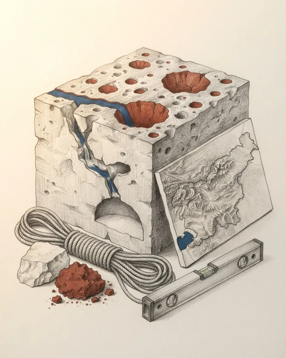
The Karst plateau between Ljubljana and the sea is limestone that water has been dissolving for a long time, and the visits it supports are the oldest tourist product in the country. Postojna Cave has taken more than 28 million visitors. A quarter of an hour away, the Škocjan Caves are on the UNESCO World Heritage list: collapsed dolines, some 6 kilometres of underground passages, a total depth of more than 200 metres, waterfalls, and a chamber wide enough to carry the river through it. The listing is scientific as much as scenic, because the site is where karst phenomena were first described and named. Vilenica and several smaller caves are also open, and all of them are visited on guided timings rather than wandered into.
What lives down there is part of the point. Slovenia holds an exceptional number of cave species, with a few tens of them endemic, and the olm is the only known cave vertebrate among them, present in the Karst, in Lower Carniola and in White Carniola. Near Postojna, Predjama Castle is built half inside a cave mouth, which is the same geology used for a different purpose.
The other underground visits are industrial. Idrija, where mercury occurs both in its elemental form and as cinnabar ore, a combination rare anywhere in the world, was mined for centuries and is now on the World Heritage list. The lead and zinc mine at Mežica has closed and reopened as an attraction. Both are visits into working shafts rather than into show caves, and they belong to the same habit of going down.
The Karst above them is where rural tourism is furthest developed, along with parts of Inner Carniola, Lower Carniola and northern Istria. Horse riding, cycling and walking are what the plateau is used for, and the Lipizzan, one of the country's native breeds, comes from this ground.
How one architect rebuilt the capital
Ljubljana was wrecked by an earthquake in 1895 and rebuilt in Vienna Secession style on top of a Baroque town, which would be enough to make it worth a day. What makes it unusual is what happened next. Between the two world wars, Jože Plečnik redesigned the public parts of the city: squares, parks, streets, promenades, bridges, the national library, churches, the markets and the funerary complex, all of it fitted into the existing town rather than laid over it. UNESCO listed the result in 2021, and the citation is explicit about why: it is an exceptional case of public space, buildings and green areas created to the vision of a single architect, within a limited time, in a limited space, and with limited resources.
For a visitor this changes what sightseeing in the capital means. The listed property is not a monument to buy a ticket for but the ground the city walks on, so the river embankments, the bridges and the market colonnade are the visit. Ljubljana had 284,293 residents at the start of 2022, which is small enough to cross on foot, and the castle above it is reached by funicular or by a twenty minute climb.
The museums hold two objects that are worth the detour on their own: the Divje Babe flute, whose status as a Neanderthal instrument is disputed, and the oldest wheel in the world, found in the Ljubljana Marsh south of the city. The marsh itself carries a World Heritage listing for its prehistoric pile dwellings, though there is nothing standing to look at.
What the coast kept from Venice
Slovenia's entire seaboard is 47 kilometres of the Gulf of Trieste, wedged between Italy and Croatia, and it was Venetian for centuries. Piran is the reason to go: a Venetian Gothic town on a promontory, dense, intact, and built for people arriving by sea rather than by car. Izola, a former fishing town, has been converted into a resort. Koper, the country's major port, is the least visited of the three by tourists and the most ordinary, which for some visitors is the recommendation.
Portorož next to Piran is the modern resort strip, and it runs on gambling as much as on bathing. Casinos are licensed here in numbers unusual for a country this size, and Perla in Nova Gorica, on the Italian border rather than the coast, is the largest of them. The traffic comes across the border from Italy.
Italian is a working language here rather than a courtesy. Around 15% of Slovenes speak it. Only Italy and Malta as of 2005, and the coastal municipalities are officially bilingual. The cooking follows the same line, with Istrian and Italian technique applied to local fish and olive oil.
Where the spas and the vineyards are
The north-east is the flat, warm, un-alpine part of the country and it sells three things: hot water, wine and food.
Why the north-east fills with spa visitors
Thermal water underlies the Pannonian edge, and the spa towns built on it have grown steadily over the last two decades: Rogaška Slatina, Radenci, Čatež ob Savi, Dobrna, and Moravske Toplice in Prekmurje, which draws German, Austrian, Italian and Russian visitors in numbers the region would not otherwise see. These are treatment resorts in the Austro-Hungarian tradition, with a medical framing that survives in the way they are run, and they fill in winter as well as summer.
Rural tourism runs alongside them, concentrated around Podčetrtek and Kozje in eastern Styria, where the attraction is riding, cycling and walking through farmed hills rather than any single sight.
What the eastern hills produce
The hills around Maribor are wine country. Styria makes white wine above all, Ljutomer Riesling being the name that carries furthest, and the same region grows Styrian Goldings, a hop bred from the English Fuggles variety, and presses the dark pumpkin seed oil that appears on every table in the east. Maribor runs summer cultural festivals and skis on Pohorje in winter, which gives the second city a year rather than a season.
Prekmurje, in the far north-east across the Mura, cooks differently from the rest of the country. Bujta repa, a casserole of pork, turnip and millet, and prekmurska gibanica, a layered pastry, are the dishes the region is known for, and neither has an equivalent in the Alpine west.
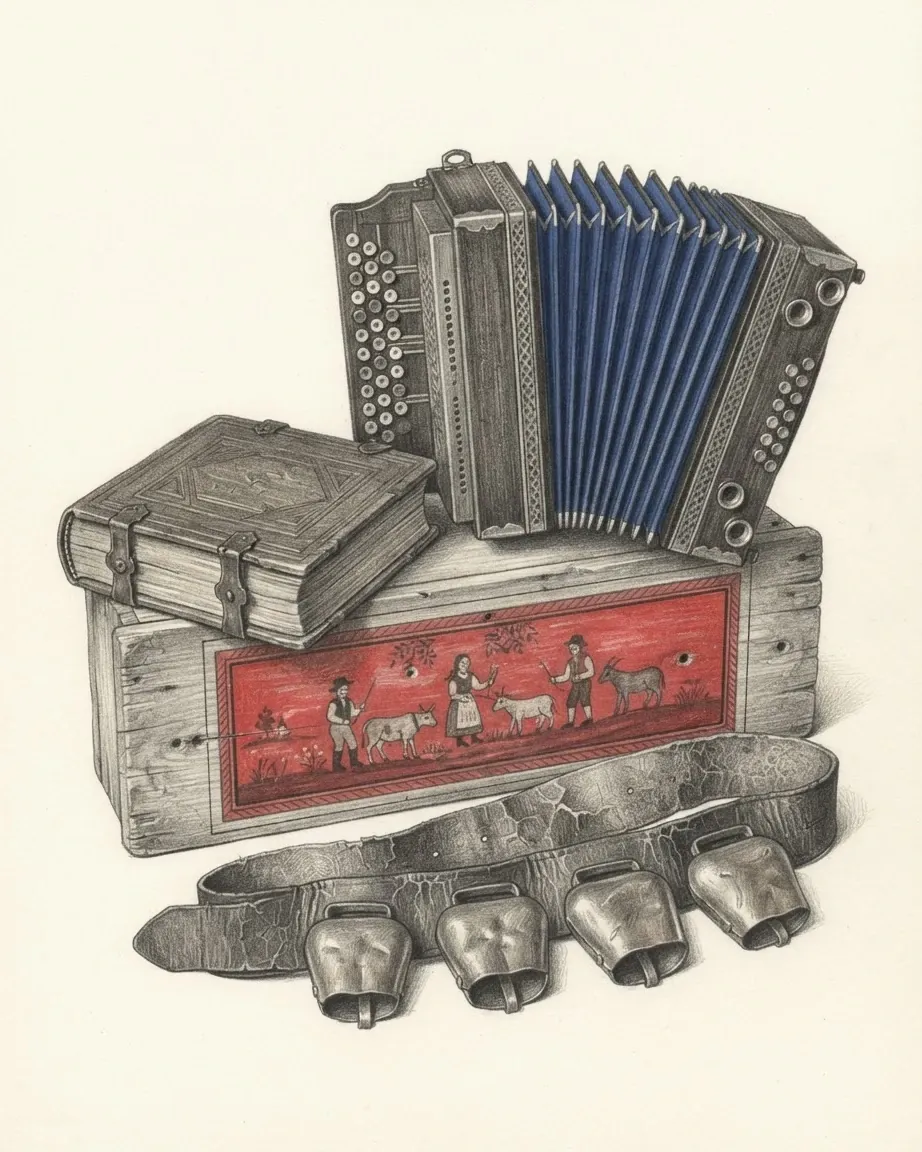
Two of the country's UNESCO intangible heritage entries are eastern too. The door-to-door rounds of the Kurenti, listed in 2017, are a pre-Lenten rite centred on Ptuj, where costumed figures in sheepskin and horned masks drive out winter. Beekeeping, listed in 2022, is practised on about 200,000 colonies of the Carniolan bee, the only subspecies kept in the country, and its visible trace is the painted panel on the front of a hive, a folk painting tradition with no parallel next door.
What each season does to Slovenia
The climate is three climates. The coast is sub-Mediterranean, most of the interior is temperate and wet, the north-east is continental with the widest gap between summer and winter, and the high Alps are alpine. They interact across most of the country, which is why forecasts here are local.
Rain is the variable that decides a trip. Some western regions take more than 3,500 millimetres a year while Prekmurje takes 800, and the wet months are spring and autumn, when monthly totals in the moderate zone can reach 381 millimetres. Spring is the season most prone to rainfall, which catches visitors who assume May is a safe month in the mountains. Summer is hot rather than extreme, with June and July often above 27 degrees Celsius. Snow is frequent in the Alps through winter and reaches the lowlands: the record cover in Ljubljana was 146 centimetres, set in 1952.
Wind is less of a factor than the terrain suggests, because the country lies in the slipstream of the Alps and average wind speeds are lower than on the plains around it. Three winds still matter locally. The bora is a cold gusty north-easterly that hits the Littoral and can shut the coast down for a day at a time in winter. The jugo, also on the coast, is humid and warm. The foehn belongs to the Alpine north.
The practical result is that the coast and the mountains have opposite calendars. The Littoral is at its best in late spring and early autumn, the high Alps are open and dry in July and August, the spas run all year, and the Karst caves hold the same temperature whatever is happening above them.
What arriving in Slovenia involves
Slovenia joined the European Union in 2004, was the first of that intake to adopt the euro, in 2007, and entered the Schengen Area in December of the same year, so arrival from Italy, Austria, Hungary or Croatia involves no border formality and no currency change. Traffic drives on the right, the supply is 230 volts on European plugs, and the emergency number is 112.
The protected share of the country shapes what a visitor is allowed to do in it. There are 286 Natura 2000 sites covering 36% of the land area, the largest share of any European Union member state, and 60.4% of the country was forest as of 2020, a proportion second in Europe only to Finland. Brown bear, lynx, chamois and reintroduced ibex all live inside that. The marketing that follows from it is loud, with Green Destinations naming Slovenia the world's first green country in 2016 and National Geographic Traveller calling it the world's most sustainable tourist destination in 2017, and the substance underneath the marketing is simply that the pressure has never been heavy enough to do much damage.
How visitors get around the country
A car is the default, and for the Karst villages, the Logar Valley and the eastern hills it is close to a requirement. The motorway system radiates from Ljubljana and reaches Maribor, the coast and the Italian and Austrian borders, and rail runs the same corridors more slowly. Coastal passenger boats connect mainly with Italy and Croatia out of Koper, with smaller traffic through Izola and Piran. Ljubljana is a two hour drive from most of the country, which is what makes a single base workable, and the exception is the far north-east, where the distance is real.
What languages a visitor meets
Slovene is the official language and the one on the signage, with Italian and Hungarian official in the bilingual municipalities on those two borders. Beyond that, Slovenia ranks among the strongest countries in Europe for foreign languages: 92% of people aged 25 to 64 spoke at least one as of 2007, and 71.8% of those spoke two or more, the highest share in the European Union at the time. English is reported by 56%, German by 42%, and Croatian, understood widely for historical reasons, by 61%. A visitor with English is understood in the tourist regions and in most of the rest of the country as well.
Common questions
Questions about Slovenia
How many days does Slovenia need?
Four to six from a single base covers most of it. Ljubljana sits close to the geometric centre of a country 248 kilometres across at its widest, and the Alps, the Karst caves, the coast and the eastern spa belt are each within about two hours of it.
When is the best time to visit Slovenia?
It depends which of the four regions the trip is for, because they run opposite calendars. The high Alps are dry and open in July and August, the Venetian coast is best in late spring and early autumn, and the thermal spas of the north-east work in every season. Spring is the wettest time in most of the country, which catches visitors who assume May is safe in the mountains.
What is Slovenia best known for among visitors?
Lake Bled, with the only natural island in the country and a church on it, is the most visited place. After that come the Karst caves, where Postojna has taken more than 28 million visitors and the neighbouring Škocjan Caves are on the UNESCO World Heritage list, then Ljubljana, whose public spaces were redesigned by one architect and listed by UNESCO in 2021, and the Venetian Gothic town of Piran on the coast.
Is Slovenia good for hiking?
The country is built for it. Around 90% of the land lies above 200 metres, mountaineering is one of the two most widespread sporting activities in the country, and Triglav National Park covers 838 square kilometres of the Julian Alps. Triglav itself, at 2,864 metres, is a full day of exposed ground rather than a walk, and it is busy in August with Slovenes for whom the ascent is a domestic rite.
Do visitors need a car in Slovenia?
For the Karst villages, the Logar Valley and the eastern hills, close to it. Motorways radiate from Ljubljana to Maribor, the coast and the Italian and Austrian borders, and rail follows the same corridors more slowly, so the main towns are reachable without one. Everything off those corridors is a valley road, and the terrain means eighty kilometres across two ranges takes far longer than eighty along a river.