Travelling in Nicaragua: a country planned around one lake
2 710 words · 12 min · updated 2026-10-04
 Back to Nicaragua
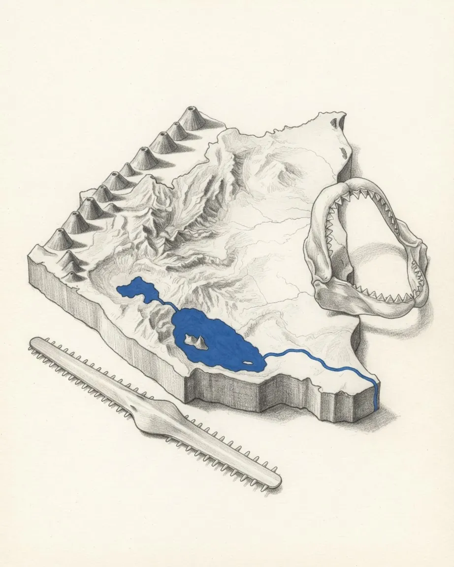
Granada, the city Nicaragua's tourism ministry names as the preferred stop for visitors, was founded in 1524 on the shore of Lake Nicaragua, and a visit to the country is still organised around that lake. Beside Granada lie the 365 Isletas, thrown into the water when Mombacho volcano blew out most of its cone. An hour away by boat is Ometepe, an island formed by two volcanoes standing in the lake. Its outflow, the San Juan River, runs 200 kilometres to the Caribbean, and from the western shore a road of twelve miles once carried California-bound passengers down to the Pacific at San Juan del Sur. Granada, Ometepe, Mombacho, Rivas and San Juan del Sur, five of the places on the ministry's list, sit on the lake or on the narrow strip between it and the ocean.
In short
- Preferred stop
- Granada, founded 1524 on Lake Nicaragua
- Lake Nicaragua
- 8,157 km², with Ometepe and 365 Isletas
- Transit route
- San Juan River, the lake and a 12-mile road, from 1851
- Arrivals by land
- 56.5% of visitors in 2024
- Foreign receipts
- US$510.8 million in 2024
- Average stay
- 8.9 days, second quarter of 2026
- Pacific dry season
- December to April
- World Heritage in León
- León Viejo ruins, and the cathedral since 2011
Why Granada faces Lake Nicaragua
Francisco Hernández de Córdoba founded two cities in 1524: Granada on Lake Nicaragua, and León west of Lake Managua. The two have been paired ever since, and the Ministry of Tourism, INTUR, names them together as the colonial cities visitors prefer, with Granada given as the preferred spot on its own.
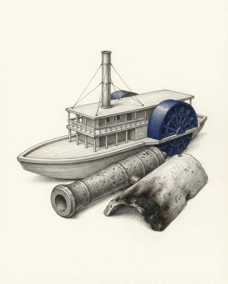
The central park, Parque Colón, holds vendors of traditional food and crafts, and horse-drawn carriages wait there to take visitors round the city. The colonial plan around it carries a particular history. Walker, the American filibuster, took Granada in October 1855 by commandeering a steamboat of the Accessory Transit Company and landing his men in the rear of the city. On 14 December 1856, with Granada surrounded by 4,000 troops from Costa Rica, Honduras, El Salvador and Guatemala and by Nicaraguan allies, his general Charles Frederick Henningsen ordered it set on fire before fighting his way out to the lake. The detachment he left behind took more than two weeks to smash, burn and flatten the city, and left inscriptions on the ruins that read "Aqui Fue Granada", here was Granada.
What the Isletas are
The Isletas de Granada are an archipelago of 365 islands just off the city. They formed when Mombacho blew most of its cone into the lake, and they differ in size. Most of the people who live on them make their living by fishing. Visitors go out among them by guided boat or by kayak, and the islets hold many species of birds and fish, among them cormorants, herons, kingfishers, oropendolas and hawks. Some of the islets carry hotels, for visitors who want to take in the sunrise from Mombacho.
Which craters lie within reach of the city
Mombacho itself is a common day trip from Granada, climbed by visitors who want to walk up into a cloud forest. The Apoyo Lagoon, near Lake Masaya, was made by the eruption of the Apoyo volcano about 23,000 years ago, which left a crater 7 kilometres wide that gradually filled with water. The old crater wall still encloses it. Restaurants line the rim, many of them with kayaks to hire, and kayaking is the main thing done on the water.
The Masaya Volcano is one of 18 distinct volcanic centres that make up the Nicaraguan part of the Central American Volcanic Belt. Lake Masaya is prized for swimming and fishing. Six freshwater lakes lie near Managua alone, by Britannica's count: Lake Managua, Asososca, which supplies the capital's drinking water, the slightly alkaline Jiloá, Masaya, the sulphurous Nejapa and Tiscapa inside the city.
What Ometepe and the southern lake hold
Lake Nicaragua covers 8,157 square kilometres by Britannica's figure, and the Wikipedia geography article gives its length as about 160 kilometres and its width as 75. A chain of volcanoes bisects it, and that chain is where its islands came from. Ometepe is two of those volcanoes standing in the water: Concepción, at 1,610 metres, and Maderas. Both are on the list of volcanoes that visitors climb, alongside Masaya, Momotombo, Mombacho and Cosigüina, and both dormant and active cones are open to climbers.
Ometepe is also where the ecotourism trade concentrates. Most of the country's eco-lodges and environmentally focused destinations are on the island, an hour's boat ride from Granada. Some are foreign-owned, such as the permaculture lodge at Finca El Zopilote, and others are run by local families, such as Finca Samaria. Visitors to the lake can also explore the plants and animals of the Charco Verde Nature Reserve. Zapatera Island appears on the list of destinations for the department of Rivas, with Ometepe, San Juan del Sur and Iguana beach.
The department of Río San Juan, named after the river that drains the lake, lists four destinations: the Solentiname Islands, El Castillo, San Carlos and the Los Guatuzos Wildlife Refuge. Rainforest covers that department and the two Caribbean autonomous regions, and it is largely protected by the Indio Maíz Biological Reserve in the south and the Bosawás Biosphere Reserve in the north. Fires in Indio Maíz were one of the grievances that fed the protests of April 2018, which in turn brought tourism to a virtual standstill by the middle of that year.
Who crossed the lake before the visitors came
The route through southern Nicaragua carried travellers long before it carried tourists. Gold was found in California in 1848, and in 1851 Cornelius Vanderbilt set up the Accessory Transit Company to span Nicaragua and connect his steamships on the two oceans. Its riverboats ran from the Caribbean port of Greytown up the San Juan River to Lake Nicaragua, and from the lake's western shore a carriage road of twelve miles descended to San Juan del Sur. The company carried tens of thousands of passengers a year. The other crossing of the isthmus was the Panama Railroad.
Greytown was the small Caribbean port of San Juan del Norte until British officials seized it in 1848 and renamed it, at a time when Britain claimed a protectorate over the Atlantic coast. The river at the other end of the route was fought over in 1856 and 1857, when a Costa Rican force guided by Vanderbilt's agent captured the river steamboats and forts that supplied Walker. The history of Nicaragua follows that route through the rest of the country's past.
The water route stayed on the drawing board after the steamboats. The Wikipedia geography article notes that the passage was considered at various times as an alternative to the Panama Canal, and Britannica that the lake and its distributary have long been discussed as a canal line. The most recent plan was a 278-kilometre canal under a 50-year concession to a Hong Kong company owned by the businessman Wang Jing. It would have bisected Lake Nicaragua and displaced an estimated 120,000 people. A symbolic ground-breaking took place in 2014, no digging of the waterway ever started, and the concession was cancelled in May 2024.
A visitor going from the lake down to the surf beaches crosses the same strip of land near Rivas that the stagecoaches crossed.
How León answers Granada
León is the other half of the pair, and it has two sites. The first city, now the Ruins of León Viejo, stands near the town of Puerto Momotombo at the western end of Lake Managua, opposite the volcano of the same name. UNESCO's account is that an eruption of Momotombo in 1578 partly destroyed it and that the earthquake of 1610 brought down what remained; the Wikipedia history of the country gives the 1610 destruction to the volcano. Either way the city was moved and rebuilt six leagues away, and the site it left behind was never developed. Gradual burial preserved the remains in place, which is why UNESCO treats them as a record of the economic and social structures of the Spanish Empire in the sixteenth century. The tomb and remains of Hernández de Córdoba were found in the ruins in 2000.
The second León holds the cathedral, built between 1747 and the early nineteenth century to the design of the Guatemalan architect Diego José de Porres Esquivel and inscribed on the World Heritage List in 2011. Its proportions are mainly horizontal and its towers low and thick, both of them answers to earthquakes taken from the architecture of Antigua Guatemala. The interior is plain and full of daylight, and the vault of the sanctuary is the one place where the decoration is rich. It keeps a wooden Flemish altarpiece and the fourteen Stations of the Cross painted by the Nicaraguan artist Antonio Sarria.
León's department lists the Ruins of León, El Fortín and two volcanoes, Cerro Negro and Telica. Cerro Negro is the one visitors slide down: sand skiing on its slopes has become a regular attraction.
The rivalry between the two cities had a direct effect on the map. Managua rose to undisputed standing as the capital in 1852, to allay the rivalry between León and Granada. The capital was virtually destroyed by earthquakes in 1931 and again in 1972. Its department's listed attractions are Montelimar Beach, the Roberto Huembes market and the Chocoyero-El Brujo Natural Reserve, among others.
Where the Pacific surf breaks
The Pacific coast is the second reason people come. The surf breaks visitors travel for are in the department of Rivas. They take south swells from the Roaring Forties averaging three to five feet, and the coast has offshore winds on about 330 days a year. The beaches named most often are those near San Juan del Sur, Playa Maderas and Playa Majagual among them. Farther north, Playa Gigante, Playa Amarilla and Popoyo offer the same kind of break.
San Juan del Sur, the old Pacific terminus of the transit road, has had cruise ships docking since January 2000, and some of their passengers take tours inland to the lake and Granada. The town is also one of three places, with Managua and Granada, where most of the expatriate community has settled.
In the north-west the department of Chinandega lists the Flor de Caña rum tour and the Marina Puesta del Sol yacht club.
What changes east of the central highlands
Britannica notes that almost all settlement and economic activity is concentrated in the western half of the country. The other half is the highlands and the Caribbean lowlands, and a visit there is organised differently.
Which forests the north protects
The central highlands rise in ridges of 900 to 1,800 metres, under a mixed forest of oak and pine. The temperate band between 750 and 1,600 metres has daytime temperatures of 24 to 27 °C and nights of 15 to 21 °C. Oaks, pines, moss, ferns and orchids fill the cloud forests. Coffee is the crop of the hills, and nearly two-thirds of it comes from the area north and east of Estelí.
The cooperatives have turned some of that into a visit. CECOCAFEN, an organisation of coffee cooperatives in the north, runs a rural tourism project developed with support from Lutheran World Relief, in which visitors can tour a coffee farm, stay overnight on one and walk with a community guide. Matagalpa has the Selva Negra cloud forest reserve, Estelí the Miraflor Nature Reserve, and Jinotega the El Jaguar Cloud Forest Reserve and Lake Apanás, an artificial lake on the Tuma River that generates much of the electricity used on the Pacific side.
Bosawás, in the north-east against the Honduran border, is listed by UNESCO's Man and the Biosphere Programme with 1997 as its year of nomination, and covers 1,994,187 hectares. UNESCO describes it as a meeting point between the fauna of North and South America, records a significant number of quetzals, and cites estimates that 13% of known species worldwide can be found there.
What the Caribbean coast keeps of its own
The Caribbean lowlands occupy more than half of national territory and are still sparsely settled. Britannica notes that Nicaragua was colonised by both Spain and Britain, and the British half shows on the coast. Under the 1987 constitution and the Atlantic Coast Autonomy Law of the same year, Miskito, Sumo, Rama and Creole English have equal status with Spanish there. Around Bluefields, the principal city, English is widely spoken. Bluefields learned baseball in 1888 from Albert Addlesberg, a retailer from the United States, and the coast's dance music, Palo de Mayo, is loudest at the maypole festival in May.
Before 2019 no highway ran all the way from Managua to the Caribbean. A road between Nueva Guinea and Bluefields was completed that year and carries a regular bus service to the capital. The Corn Islands lie about 70 kilometres offshore, east of Bluefields, and the South Caribbean region's list of destinations puts them beside Bluefields, Laguna de Perlas and Indio Maíz.
When the dry months fall on each coast
Temperature varies little through the year and depends mostly on height. The hot land from sea level to about 750 metres sees daytime averages of 30 to 33 °C and nights of 21 to 24 °C for most of the year. Above 1,600 metres, on the highest peaks of the central highlands, daytime averages fall to 22 to 24 °C.
Rain is what decides a date. On the Pacific side the wet season runs from May, ending in October by the Wikipedia geography article and in November by Britannica, and December to April is dry. The Caribbean side is wetter: rain falls for about nine months of the year, the dry season runs from March through May, and annual rainfall in the Caribbean lowlands is between 2,500 and 6,500 millimetres. The coast takes tropical storms and hurricanes particularly from July to October. From November to March, heavy rains called papagayo storms can sweep down from the north across both halves of the country, the rift valley around the lakes in particular.
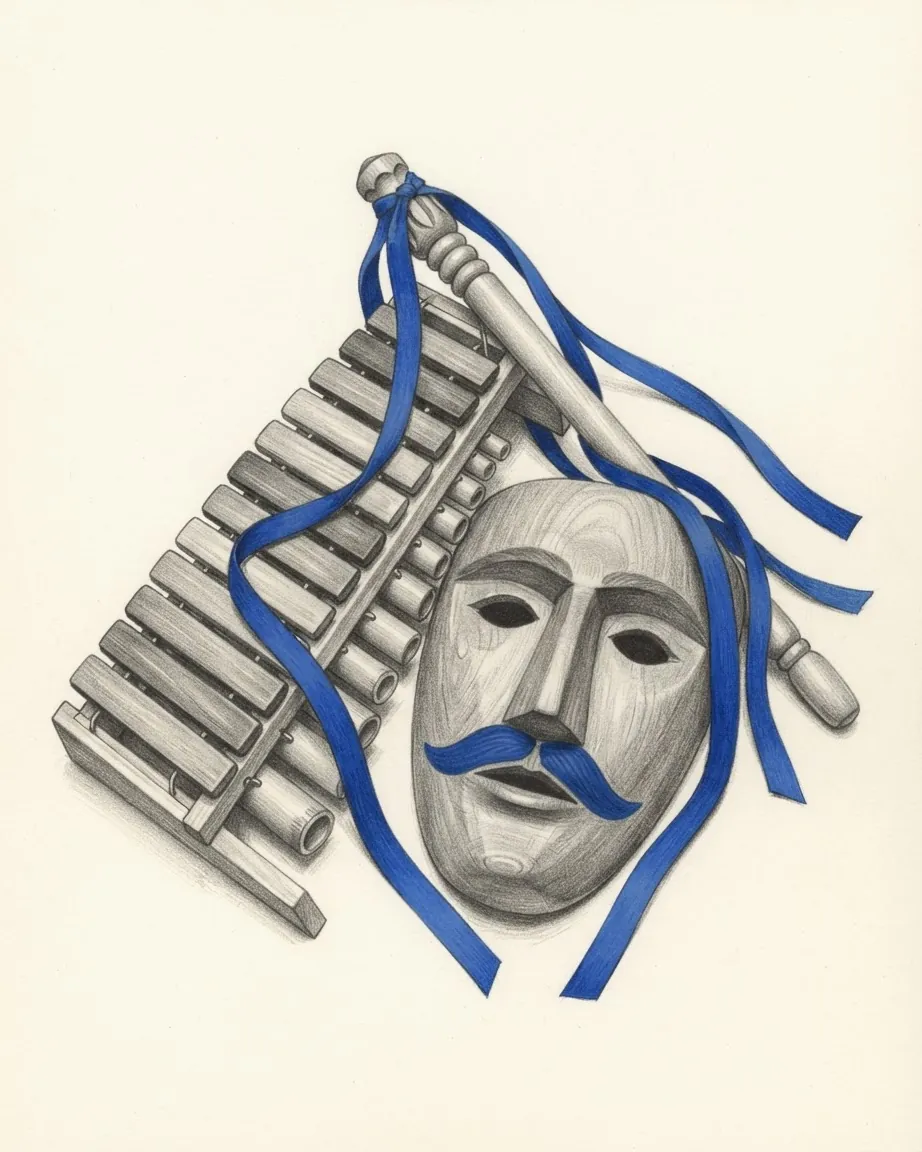
The festival calendar adds three fixed dates. El Güegüense, the satirical colonial play inscribed by UNESCO in 2008 after its proclamation in 2005, is performed in Diriamba during the feast of San Sebastián from 17 to 27 January. La Purísima fills a week of early December with altars to the Virgin built in homes and workplaces. Palo de Mayo takes the Caribbean coast through May.
What the arrival figures record
Nicaragua took in one million visitors in a calendar year for the first time in 2010, which brought in about 360 million dollars. In 2013 more than 1.2 million tourists came, two-thirds of them from other Central American countries, 290,000 from North America and 80,000 from Europe. The Central Bank of Nicaragua's figures for 2024 show the road carrying more visitors than the airport.
| Measure | Figure | Period |
|---|---|---|
| Visitors arriving by land | 56.5% | 2024 |
| Visitors arriving by air | 42.6% | 2024 |
| Visitors arriving by water | 0.9% | 2024 |
| Overnight tourists among visitors | 87.9% | 2024 |
| Receipts from foreign visitors | US$510.8 million, against US$739.2 million | 2024, and 2023 |
| Daily spending per foreign visitor | US$43.9 | 2024 |
| Daily spending per foreign visitor | US$47.8 | Second quarter of 2026 |
| Average stay | 8.9 days | Second quarter of 2026 |
| Tourism's share of total value added | 5.5% | 2024 |
Arrivals of non-residents fell 9.7% in 2024, 116,700 fewer than in 2023, and receipts fell with them. Residents travelling inside the country moved the other way. Their spending accounted for 75.5% of tourism consumption in the country in 2024, after rising 45.5% on the year, and in 2025 it reached 66,004.7 million córdobas, up 14.6%, against 19,300.9 million córdobas spent by visitors from abroad. Foreign visitors spent 34.1% of that on restaurants and 27.7% on lodging in 2025. The national statistics institute, INIDE, measured an average stay of 8.9 days in the second quarter of 2026, against 10.1 days in the first.
There is one international airport, the Augusto C. Sandino International Airport in Managua, expanded and renovated between 2003 and 2006. The UK government describes the CA-4 arrangement as a single period of up to 90 days covering Nicaragua, Guatemala and El Salvador, with Honduras also in the agreement; the period starts at the first entry and does not restart at each border, and immigration checks still apply. The same guidance records that the United States dollar is the only foreign currency freely exchangeable in Nicaragua, that banks do not exchange British pounds, and that electronic cigarettes are banned outright, including their import. The local currency is the córdoba.
Common questions
Questions about Nicaragua
How did the Vanderbilt transit route cross Nicaragua?
From 1851 the Accessory Transit Company ran riverboats from the Caribbean port of Greytown up the San Juan River to Lake Nicaragua, carried passengers across the lake, and took them down a carriage road of twelve miles from its western shore to San Juan del Sur on the Pacific. It carried tens of thousands of passengers a year bound for the California gold fields.
Can visitors climb the volcanoes on Ometepe?
Yes. Concepción, at 1,610 metres, and Maderas are both on the list of volcanoes visitors climb, and the island is an hour's boat ride from Granada. Most of the country's eco-lodges are on Ometepe.
Which languages are spoken on Nicaragua's Caribbean coast?
Spanish, and alongside it the languages the 1987 constitution and the Atlantic Coast Autonomy Law of that year gave equal status in the coast regions: Miskito, Sumo, Rama and Creole English. English is widely spoken around Bluefields, and many Afro-Nicaraguans and Creoles speak English or Creole English as a first language and Spanish as a second. On the Pacific side the indigenous languages have disappeared, though their influence survives in place-names and many nouns of Nicaraguan Spanish.
When does the dry season run in Nicaragua?
On the Pacific side, where Granada, León, the lake and the surf beaches are, December to April is dry and the rains come from May. The Caribbean side is reversed and wetter: rain falls for about nine months, the dry season runs from March through May, and hurricanes are most likely from July to October.
How long do foreign visitors stay in Nicaragua?
INIDE, the national statistics institute, measured an average stay of 8.9 days in the second quarter of 2026 and 10.1 days in the first. Daily spending per foreign visitor was US$47.8 in the second quarter. The Central Bank counted 87.9% of foreign visitors in 2024 as tourists staying at least one night, the rest being day visitors.