Panama across and along: travelling a country one crossing wide
3 029 words · 14 min · updated 2026-10-04
 Back to Panama
The Panama Canal leaves the Caribbean at Colón heading due south and reaches the Pacific some 40 kilometres further east, because the isthmus runs from north-west to south-east where the canal crosses it. On that short crossing a colonial road, the railway of 1855 and the canal of 1914 share the same narrow ground, and a visitor who leaves it takes one of two long roads: west to the Chiriquí highlands under Volcán Barú, or east into Darién, where the Pan-American Highway stops near Yaviza about 40 kilometres short of Colombia.
In short
- Canal length
- 80 km, Limón Bay to the Gulf of Panama
- Pacific end of the canal
- Some 40 km east of the Caribbean end
- Panama Railway
- 79 km, Colón to Panama City, completed 1855
- Tidal range
- About 70 cm on the Caribbean, over 7 m on the Pacific
- Where the road stops
- Near Yaviza, about 40 km from Colombia
- Volcán Barú
- 3,475 m, last eruption 1550
- World Heritage properties
- 5 listed by UNESCO in 2026, the newest inscribed in 2025
- Currency
- Balboa, at par with the US dollar since 1903
Why the canal ends east of where it starts
A map of the Americas puts the Atlantic to the east of Panama and the Pacific to the west, and the canal does not follow that arrangement. Britannica describes the waterway leaving its entrance at Colón due south, through the Gatún Locks and into the widest part of Gatún Lake, then turning sharply east and running generally south-east to the Bay of Panama. Its terminus near Balboa lies some 40 kilometres east of its terminus near Colón, and the Bridge of the Americas at the Pacific end stands about a third of a degree of longitude east of the Caribbean entrance.
Ships use the simpler words. In formal nautical communication a vessel bound for the Pacific is southbound and one bound for the Caribbean is northbound.
The cause is the shape of the land. Where the canal was cut, the isthmus runs from north-west to south-east, and the continental divide dips at that point to a low saddle at about 9° north. Britannica calls the band on either side of it the Chagres, or Route, region: a coast-to-coast strip where Panama is at its lowest and narrowest, holding Panama City, Colón, the urban district of San Miguelito and the towns of Balboa, La Chorrera, Gamboa and Cristóbal. More than half the population lives in the corridor between Panama City and Colón.
That strip holds most of what a visitor comes for, and four centuries of ways across the isthmus run through it side by side. The rest of Panama extends away from it in two directions: west along the Pan-American Highway towards Costa Rica, and east towards Darién, where the road gives out before the Colombian border. A visit to Panama can be planned as the crossing plus one of those two directions.
How four centuries of crossings run side by side
The oldest is the Spanish road. In 1519 the crown paid for a cobbled track joining the two oceans, and by 1534 the Chagres River had been dredged to carry traffic for two-thirds of the way. Under Governor Pedrarias the overland routes took the names they still carry, the Camino Real and the Camino de Cruces, linking Panama City with Nombre de Dios and later with Portobelo on the Caribbean.
The road paid for an empire. An estimated 60% of the gold that reached Spain from the Americas between 1531 and 1660 came through the fleets and fairs of Nombre de Dios and Portobelo, and enslaved Africans did much of the carrying: a 1610 census of Panama City recorded 3,500 enslaved Africans against 548 white male citizens. Escaped slaves, the cimarrons, lived in settlements around the Camino Real and raided it.
UNESCO inscribed the Colonial Transisthmian Route of Panamá on the World Heritage List in 2025. In February of that year the Ministry of Culture reported that the national tourism authority had already written the route into its five-year plan for 2025 to 2030 as a strategic destination, with a tender for an interpretation plan to follow.
The railway came next. A United States company completed the 79-kilometre line between Colón and Panama City in 1855, and it now runs as the Panama Canal Railway. It was built for the traffic of the California gold rush. In April 1856 a quarrel over a watermelon taken from a fruit seller by an American traveller turned into the Watermelon Riot, and United States troops were sent that September to guard the stations.
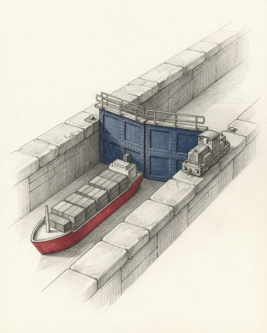
The canal opened in 1914, and its layout reads as a route a visitor can follow from either shore. From Limón Bay a ship enters the Gatún Locks, or the Agua Clara Locks built for the larger Neopanamax ships, a three-stage flight 2 kilometres long that lifts it about 27 metres to the level of Gatún Lake. It crosses 24 kilometres of the lake, follows the Chagres, passes through the Culebra Cut across the continental divide and under the Centennial Bridge, and comes down through the Pedro Miguel and Miraflores Locks, or the Cocolí Locks, to Balboa.
The passage measures 80 kilometres. In 2017 ships took an average of 11.38 hours between the two outer sets of locks, and in the fiscal year to September 2025 the canal recorded 13,404 transits, 3,342 of them by Neopanamax vessels. Gatún Lake was created in 1913 by damming the Chagres, and the water for every lockage comes from it.
The Boyd-Roosevelt Highway, the Trans-Isthmian Highway of the road maps, runs beside the railway and the canal between Panama City and Colón. All four lines of crossing share the same few kilometres of ground.
What the two ends of the crossing keep
Panama City has stood on two sites. The first city was sacked and burned by the privateer Henry Morgan on 28 January 1671, and its ruins are visited as Panamá Viejo, old Panama. The replacement was formally established on 21 January 1673 on a peninsula 8 kilometres from the original settlement, and that peninsula is the Casco Viejo, also called the Casco Antiguo.
The old quarter now holds hotels in restored buildings. Two occupy buildings of 1917, one of them the former Club Unión, and a third was assembled from buildings of the Spanish, French and American periods of the city. In the modern city accommodation gathers around the financial district and the waterfront. The BioMuseo, a centre of natural history, opened in October 2014. The Museo Afroantillano, founded on 22 December 1980, is dedicated to the Antillean migrants who came to the isthmus to work on the railway and the canal.
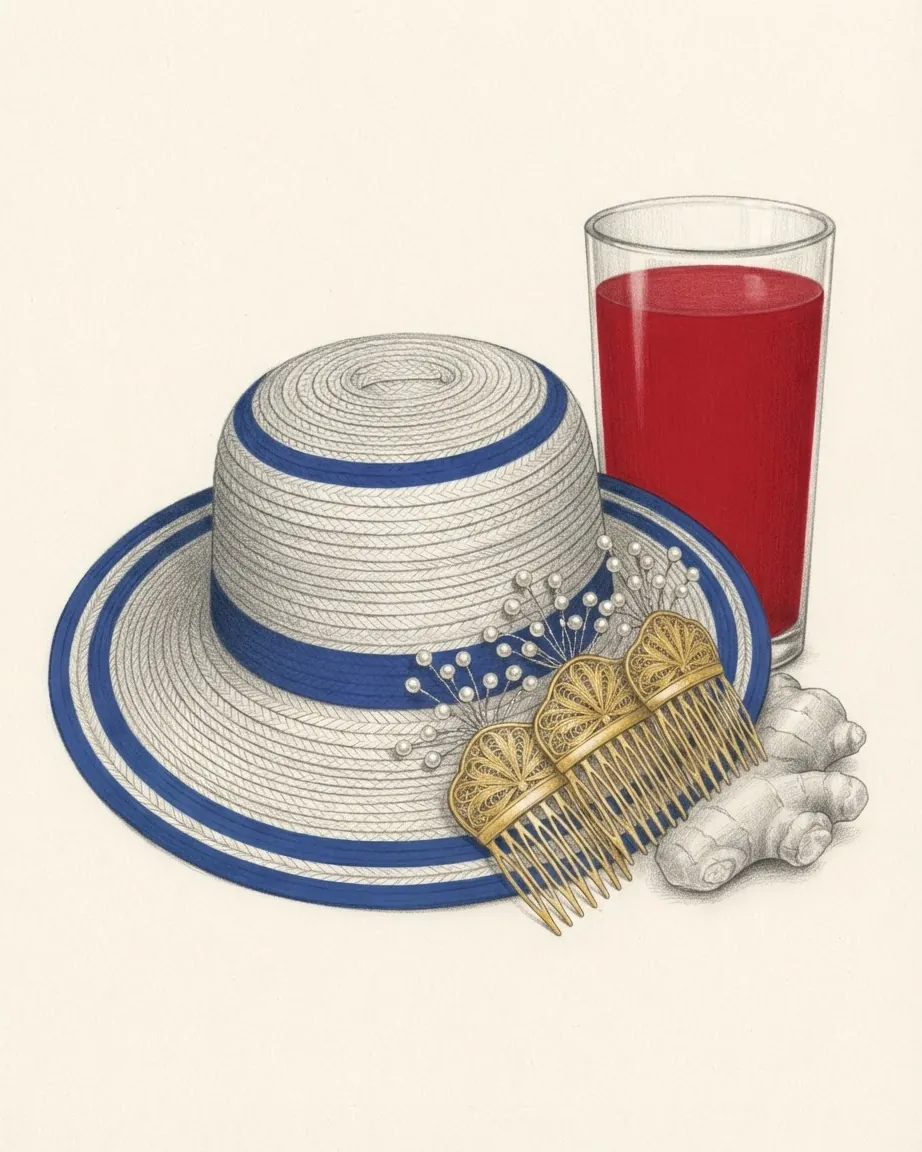
At the Caribbean end the Fortifications on the Caribbean Side of Panama, at Portobelo and San Lorenzo, were inscribed by UNESCO in 1980. Columbus named Portobelo, the beautiful port, on his fourth voyage in 1502. The town keeps the Congo tradition of the Black and cimarrón population that has lasted since the colonial period: its sixth Festival de la Pollera Congo, in April 2024, opened with more than twenty craftspeople selling Congo dress, saus and drinks of ginger and saril in the old customs house, then took to the bay in a parade of boats before returning to the central square.
Portobelo is also one of the Colón communities documented in the dances of Corpus Christi, which UNESCO added to its Representative List of intangible heritage in December 2021. The file described devils in masks with animal and human features, the clean devils of mirrors and the dirty devils, and a staged fight between an angel and the devils over a lost soul.
Colón itself is the port city at the canal's Caribbean mouth, beside the docks of Cristóbal and the Colón Free Trade Zone.
How the Caribbean and Pacific coasts differ
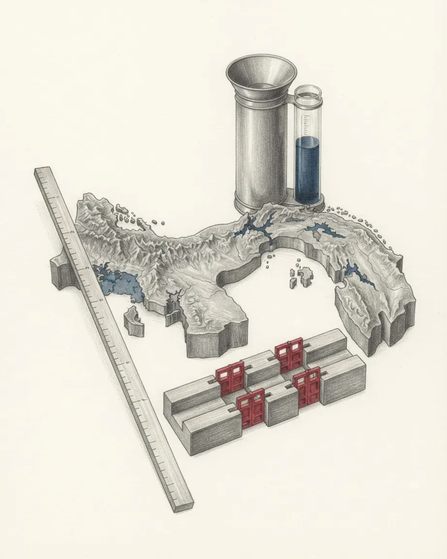
Panama's coastline runs to about 2,988 kilometres including the islands, 1,700.6 of them on the Pacific and 1,287.7 on the Caribbean, and the two read as different seas.
| Caribbean coast | Pacific coast | |
|---|---|---|
| Length | 1,287.7 km | 1,700.6 km |
| Shape | Concave, lined with hundreds of islands | Convex, with deep gulfs and peninsulas |
| Rainfall a year | 1,500 to 3,550 mm | 1,140 to 2,290 mm |
| When it rains | Almost throughout the year | Seasonally, with a dry season |
| Tidal range | About 70 cm | Over 7 m |
| Island groups | Bocas del Toro, the San Blas islands of Guna Yala | Pearl Islands, Taboga, Coiba |
The Caribbean side is the wet one. Rain falls on it almost throughout the year, and the annual average in Panama City is little more than half of that in Colón. Near the Costa Rican border the islands of the Bocas del Toro archipelago shelter Almirante Bay and its banana port, and the archipelago is popular with backpackers. Further east the coast of the Guna Yala comarca is fringed by more than 350 low, sandy islands strung out over more than 160 kilometres.
The Pacific side is shallow, and that decides what its shore looks like. Depths of 180 metres are reached only outside the Gulf of Panama and the Gulf of Chiriquí, so the tide runs over wide mud flats that extend up to 70 kilometres seaward. At low water the Pacific shore can lie behind kilometres of wet mud. Some 130 kilometres up the Río Tuira in Darién the tidal range is still over 5 metres.
Some 1,000 islands lie off the Pacific coast. The Pearl Islands, more than 200 of them, sit in the middle of the Gulf of Panama, and Taboga is visible from Panama City. Coiba, in the Gulf of Chiriquí, the site of a penal colony, is the core of Coiba National Park and its Special Zone of Marine Protection, inscribed by UNESCO in 2005. The Gulf of Montijo in Veraguas is a Ramsar wetland of mangroves.
When the dry season reaches each side of Panama
Temperature changes little through the year. The mean of the coldest month seldom drops below 26 °C on either coast, and a typical dry-season day in the capital runs from about 24 °C in the early morning to 29 °C in the afternoon. What changes is rain.
The sources date the rainy season differently, May through November in one account and April to December in another, and agree that it lasts seven to nine months. On the Pacific side the dry season is pronounced: in Chiriquí it runs from January to April, and March is usually the driest month. On the Caribbean side there is no such break, and towards the Colombian border both sides of the isthmus have rain all year.
Altitude is the other control. Britannica divides Panama into a hot zone below 700 metres, which makes up nearly nine-tenths of the territory, a temperate zone from 700 to 1,500 metres where coffee is grown, and a small cold zone above that. Frost occurs in the Cordillera de Talamanca, where pipes have frozen at 2,100 metres.
Several of the festivals fall in the dry months. On 17 January 2026 the Desfile de las Mil Polleras filled the streets of Las Tablas with women in the national dress, and hotels and restaurants in Azuero reported high demand that weekend. Carnaval follows, in February in 2026, and in Las Tablas its last day, the Tuesday, has been the day of the pollera since the 1960s and 1970s, when the rival street groups of Calle Arriba and Calle Abajo began reserving it for gala dress. On 25 February the Guna mark the Dule Revolution of 1925, in 2026 with events in Panama City, Panamá Oeste and Colón.
Two festivals fall in the rains. The Armila sea turtle festival in Guna Yala held its 2024 edition in May, and the Festival Nacional del Sombrero Pintao at La Pintada ran from 24 to 26 October 2025, with more than 150 craftspeople and a parade of a thousand hats; UNESCO declared the painted hat intangible heritage in 2017.
What visitors find in Guna Yala
The San Blas islands lie inside Guna Yala, one of six comarcas, territories recognised in law for Indigenous peoples. According to the 2023 census about 698,000 Panamanians, around 17% of the population, belong to eight recognised Indigenous peoples, the Guna among them. Under colonial rule the Guna largely retreated to the San Blas archipelago, and the Dule Revolution of 1925 is commemorated as the defence of their identity and autonomy.
The object most visitors bring home from Guna Yala is a mola. The word is Guna for blouse, and it has come to mean the panels that make up the front and back of a Guna woman's blouse: several layers of cloth of different colours, loosely stitched together and cut through by reverse appliqué so the lower colours show.
Armila, in Guna Yala, has protected nesting sea turtles since 1992, on the initiative of Ignacio Crespo, with women, children and young volunteers from the community guarding the hatchlings. Its festival involves the whole community, state bodies, non-governmental groups and tourists. On 6 December 2023 UNESCO entered the programme on its Register of Good Safeguarding Practices, the first Indigenous inscription Panama had made.
One theory holds that the country's own name is a Castilian version of the Guna word bannaba, meaning distant or far away.
Where the road west climbs towards Volcán Barú
West of the canal the main roads run from the capital to the central provinces of Coclé, Herrera, Los Santos and Veraguas, and on to Chiriquí. The Inter-American Highway, the Panamanian section of the Pan-American, has been completed from the Costa Rican border through Panama City. Panama has some 11,000 kilometres of roads, a third of them paved.
The plains and low hills between the Azuero Peninsula and the Tabasará Mountains hold the densest rural population in Panama, and Azuero is where the pollera carnival took shape. Las Tablas is in Los Santos. The Corpus Christi file documented the feast in Parita and Chitré in Herrera, La Villa in Los Santos and Penonomé in Coclé. In December 2025 UNESCO placed the building techniques of the quincha house, walls of earth trodden and raised by neighbours working together, on its List of Intangible Cultural Heritage in Need of Urgent Safeguarding, with a four-year plan for Los Santos, Herrera, Veraguas and Coclé.
Further west the land rises into Chiriquí. Volcán Barú reaches 3,475 metres, last erupted in 1550 and is protected as a national park with the area around it. Its highland belongs to the Cordillera de Talamanca, which continues into Costa Rica, and UNESCO lists the Talamanca Range-La Amistad Reserves with the dates 1983 and 1990. Britannica records Panama's La Amistad National Park established in 1988 beside the Costa Rican reserve and the two designated a transboundary World Heritage site in 1990.
A second crossing of the isthmus runs through the west. In 1982 an oil pipeline was built some 130 kilometres from Puerto Armuelles on the Pacific over the Tabasará Mountains to Chiriquí Lagoon on the Caribbean, and a road was built through the mountains beside it. Britannica records the Chiriquí National Railroad carrying passengers between La Concepción and Puerto Armuelles, and the BTI country report for 2026 describes a railway from Panama City to Chiriquí as a government priority after the 2024 election.
Why the road east stops before Colombia
East of Panama City the Inter-American Highway reaches a point near Yaviza in Darién, about 40 kilometres from the Colombian border, and stops. Completion of the last segment has been held back by concern over what building and using a road would do to the ecology of the area. The gap is the Darién Gap, and it is the break in a road that otherwise runs from Alaska to Patagonia.
Most of that ground is Darién National Park. Created in 1980 and inscribed by UNESCO in 1981, it covers some 575,000 hectares of Darién province, a stretch of the Pacific coast and almost the entire border with Colombia, where it adjoins Colombia's Los Katíos National Park. It rises from sea level to Cerro Tacarcuna at 1,875 metres, through beaches, mangroves, swamps, palm forest and rainforest, and Emberá, Wounaan and Guna communities and Afro-descendant people live inside it. The eastern third of Panama, Darién above all, is the least densely settled part of the country.
The forest is also a migration route. The BTI report counted more than 520,000 people crossing the Darién jungle in 2023, 109% more than in 2022, about a quarter of them minors. The governments of Panama and Colombia have committed to preserving the park and to coordinating migration through it.
The isthmus has carried animals between the continents far longer than it has carried people. Panama's wildlife includes sloths, anteaters and armadillos that came from South America, and jaguars, tapirs and deer that came from North America. Closer to the capital the forest is easier to reach. Soberanía National Park has more than 525 recorded bird species, and the Metropolitan National Park lies just outside Panama City. Panama has 16 national parks, and the Ministry of the Environment counts protected areas at 31.8% of its land surface.
How visitors arrive and move around Panama
Tocumen International Airport, 26 kilometres from the capital, is the hub of Copa Airlines, and about 1.5 million tourists entered through it in 2013. Panama counted more than 2 million tourists in 2011, 18% more than in 2010, and the average visitor stayed six to seven days. The tourism authority's hotel monitoring put occupancy at an estimated 73.2% in March 2026. Domestic flights leave from Albrook, the former air force station in Panama City, for more than 100 airfields across the country.
Inside Panama City the Metro runs two rapid transit lines and the publicly operated MiBus system nearly 150 bus routes. The diablos rojos, the red devils, were retired school buses from the United States painted in bright colours by their private operators. They have been barred from the city since 2010 except for recreational use, and the ones that remain mostly serve rural areas.
Traffic keeps to the right and seat belts are compulsory for drivers and passengers. The currency is the balboa, fixed at one to one with the United States dollar since independence in 1903; Panama has its own coins and no banknotes of its own, so the paper money in every wallet is the US dollar. Spanish is the official language, and English is widely taught in schools and commonly spoken. Mains electricity runs at 110 volts on NEMA 1-15 and 5-15 plugs, and the clock stays on five hours behind UTC all year.
Common questions
Questions about Panama
Which way does a ship travel through the Panama Canal?
From the Caribbean a ship heads due south from Colón through the Gatún Locks into Gatún Lake, then turns east and runs south-east to the Bay of Panama. The Pacific end near Balboa lies some 40 kilometres east of the Caribbean end, so the passage from the Atlantic side to the Pacific side ends further east than it began. In nautical traffic the directions are simply southbound and northbound.
Can a car be driven from Panama into Colombia?
No road connects them. The Inter-American Highway runs from the Costa Rican border through Panama City to a point near Yaviza in Darién, about 40 kilometres from the border, and the last segment has been held back over its effect on the forest of the Darién Gap.
Which months are dry in Panama?
On the Pacific side the dry season is pronounced: in Chiriquí it runs from January to April, with March usually the driest month. Sources put the rainy season at May to November or April to December, lasting seven to nine months. The Caribbean coast gets rain almost throughout the year, and near Colombia both sides do.
What money is used in Panama?
The balboa, fixed at one to one with the US dollar since 1903. Panama mints its own coins and issues no banknotes, so all paper money in circulation is the United States dollar, and US coins circulate beside the Panamanian ones.
What is a Guna mola?
Mola is the Guna word for blouse. It now means the panels that form the front and back of a Guna woman's blouse, made from several layers of cloth in different colours, stitched loosely together and cut away in reverse appliqué so the colours beneath show through. They are made in the Guna Yala comarca, whose more than 350 San Blas islands run along the Caribbean coast for over 160 kilometres.